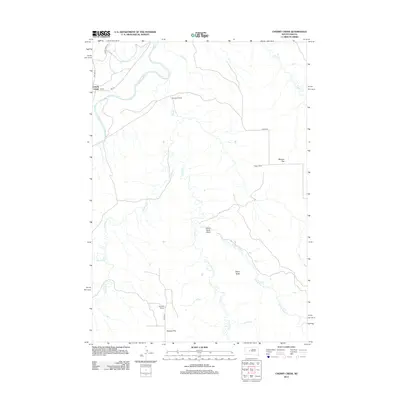
2012 Map of Cherry Creek
USGS Topo · Published 2012About this map
The Cheyenne River winds across the northwestern corner of this South Dakota landscape, where the small settlement of Cherry Creek sits at the junction of BIA Hwy 6 and Rte 12. The terrain is defined by its extensive drainage systems, dominated by the central course of Plum Cr and its various tributaries including W Plum Cr and E Fork Plum Cr.
Find a feature on this map
19 named features on this map. Tap any name to fly to it.
Don’t see what you’re looking for? This feature index may not catch every label — zoom into the map to look around manually.
Map Details
Editions of this 2012 Cherry Creek Map
This is the sole edition of this map. No revisions or reprints were ever made.
Other maps of this area

1954 · Pierre
USGS Topo · 1:250,000

1955 · Rattlesnake Lake SE
USGS Topo · 1:24,000

1955 · Rattlesnake Lake NE
USGS Topo · 1:24,000

1956 · Kirley
USGS Topo · 1:24,000

1956 · Cherry Creek NW
USGS Topo · 1:24,000

1956 · Carlin Flat
USGS Topo · 1:24,000

1956 · Cherry Creek
USGS Topo · 1:24,000

1958 · Pierre
USGS Topo · 1:250,000

1983 · Philip
USGS Topo · 1:100,000

1983 · Moenville
USGS Topo · 1:24,000