
1956 Map of Kirley
USGS Topo · Published 1957About this map
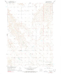
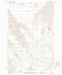
Kirley serves as the central hub for this rural portion of Haakon County, situated near the headwaters of Plum Creek and Deep Creek. The landscape is characterized by expansive elevated plateaus including Robbs Flat and Maupin Flat, which define the local topography. This 1950s survey captures a sparse but established community infrastructure essential for prairie life, featuring institutional landmarks like the Robbs Flat Sch and Markwed Sch. The presence of the Robbs Flat Cem and Deep Creek Ch indicates a settled population centered around the boundaries of Hanover and Grandfield. Water management is evident through features such as Roseth Dam, a critical piece of infrastructure for the development of the Missouri River Basin during this era of agricultural expansion in South Dakota.
Find a feature on this map
14 named features on this map. Tap any name to fly to it.
Don’t see what you’re looking for? This feature index may not catch every label — zoom into the map to look around manually.
Map Details
Editions of this 1956 Kirley Map
3 editions found
Other maps of this area

1954 · Pierre
USGS Topo · 1:250,000

1956 · Cherry Creek NW
USGS Topo · 1:24,000

1956 · Carlin Flat
USGS Topo · 1:24,000

1956 · Alleman Station
USGS Topo · 1:24,000

1956 · Cherry Creek
USGS Topo · 1:24,000

1958 · Pierre
USGS Topo · 1:250,000

1982 · Whiteman Ranch
USGS Topo · 1:24,000

1983 · Bentley Ranch
USGS Topo · 1:24,000

1983 · Philip
USGS Topo · 1:100,000

1983 · Moenville
USGS Topo · 1:24,000