
1982 Map of Midland NW
USGS Topo · Published 1983About this map
Ranching operations define the West River landscape of central South Dakota in this early 1980s topographical survey. The map records a dense network of family-owned agricultural holdings spanning the border of Haakon Co and Stanley Co, including the Armstrong Ranch, Nemec Ranch, and Blucher Ranch. This distribution of homesteads reflects the enduring pastoral economy of the region, where life centers on the drainage basins of Little Prairie Dog Creek and Mitchell Creek.
Find a feature on this map
18 named features on this map. Tap any name to fly to it.
Don’t see what you’re looking for? This feature index may not catch every label — zoom into the map to look around manually.
Map Details
Editions of this 1982 Midland NW Map
This is the sole edition of this map. No revisions or reprints were ever made.
Other maps of this area

1954 · Midland
USGS Topo · 1:24,000

1954 · Nowlin
USGS Topo · 1:24,000

1954 · Midland SE
USGS Topo · 1:24,000

1954 · Pierre
USGS Topo · 1:250,000

1958 · Pierre
USGS Topo · 1:250,000

1982 · Hayes South
USGS Topo · 1:24,000
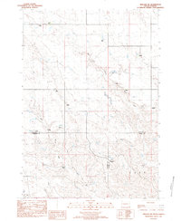
1982 · Midland NE
USGS Topo · 1:24,000

1982 · May Ranch
USGS Topo · 1:24,000

1983 · Philip
USGS Topo · 1:100,000
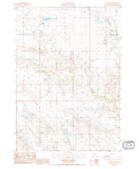
1983 · Ottumwa
USGS Topo · 1:24,000