
1983 Map of Bentley Ranch
USGS Topo · Published 1983About this map
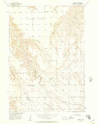
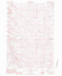
Grandfield defines the high upland character of this South Dakota landscape, where the Haakon Co and Stanley Co boundary divides a series of family-held ranchlands. Compiled from 1974 photography and field-checked in the late 1970s, the map reveals a sparsely populated agricultural region centered on water sources like Hermaphrodite Creek and Plum Creek. The distribution of named holdings, such as the Bentley Ranch, Fosheim Brothers Ranch, and Schanzenbach Ranch, illustrates the persistence of large-scale cattle operations in this part of the state. Of particular interest to local historians is the Historical Marker situated in the northeast, alongside the Olesen Ranch, indicating a site of earlier regional significance preserved amidst the sprawling pastures.
Find a feature on this map
12 named features on this map. Tap any name to fly to it.
Don’t see what you’re looking for? This feature index may not catch every label — zoom into the map to look around manually.
Map Details
Editions of this 1983 Bentley Ranch Map
This is the sole edition of this map. No revisions or reprints were ever made.
Other maps of this area

1954 · Pierre
USGS Topo · 1:250,000
1956 · Kirley
USGS Topo · 1:24,000

1958 · Pierre
USGS Topo · 1:250,000
1982 · Sansarc
USGS Topo · 1:24,000
1982 · Hayes South
USGS Topo · 1:24,000

1982 · Whiteman Ranch
USGS Topo · 1:24,000

1982 · May Ranch
USGS Topo · 1:24,000
1983 · Hayes North
USGS Topo · 1:24,000
1983 · Philip
USGS Topo · 1:100,000
1983 · Moenville
USGS Topo · 1:24,000