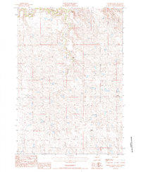
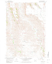
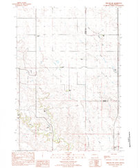
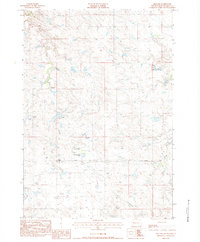
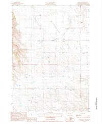
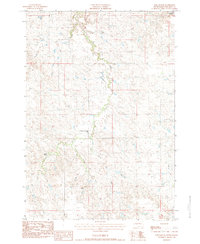
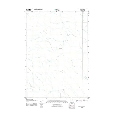
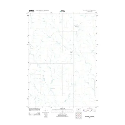
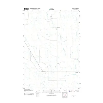
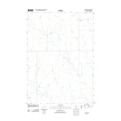
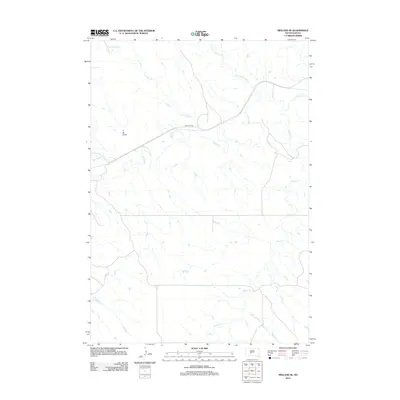
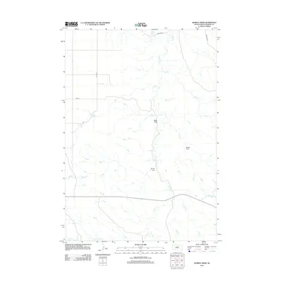
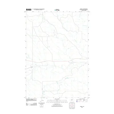
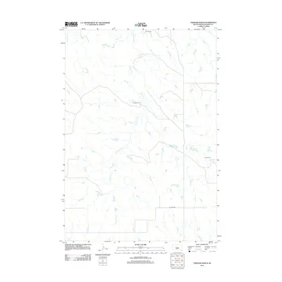
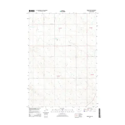
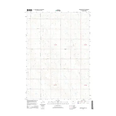
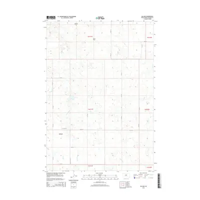
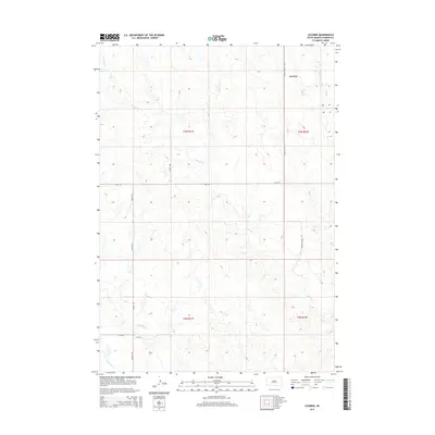
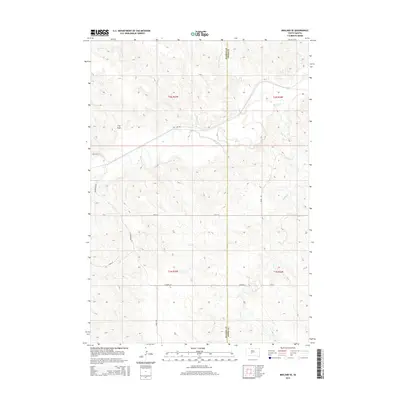
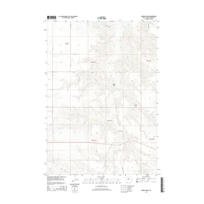
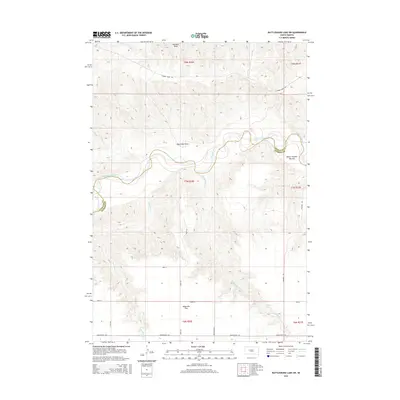
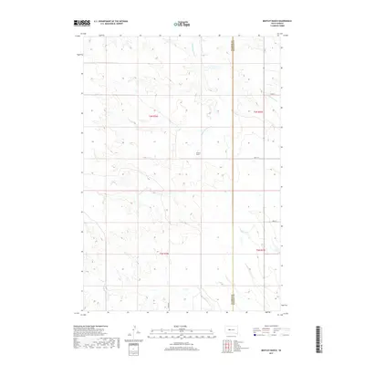
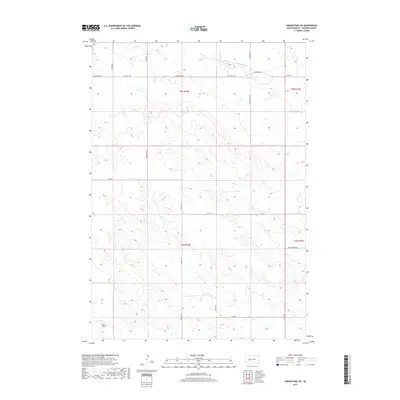
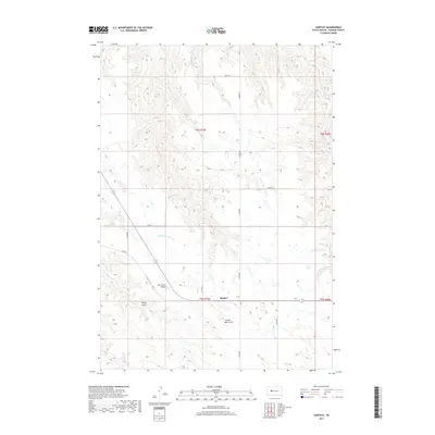
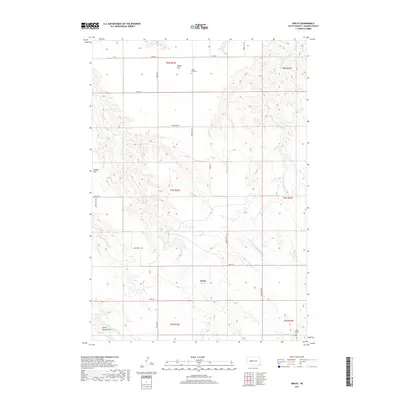
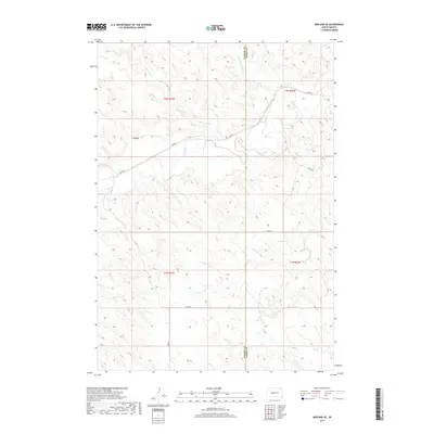
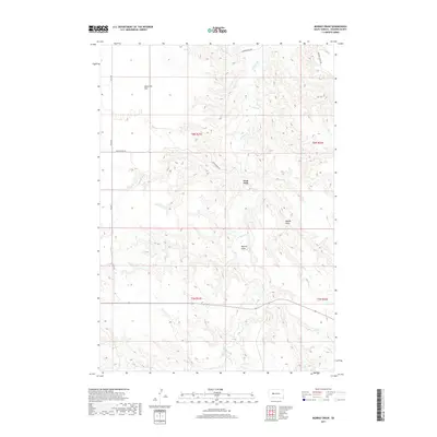
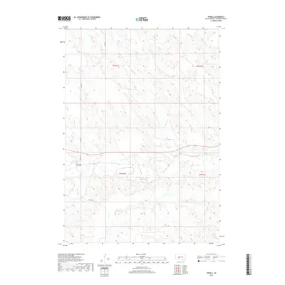
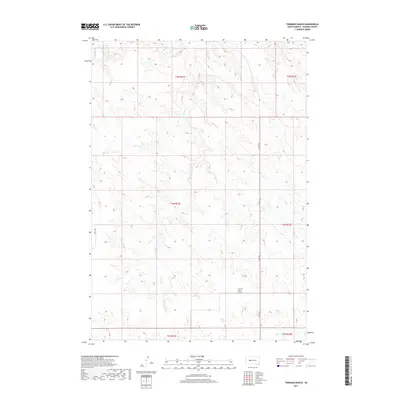
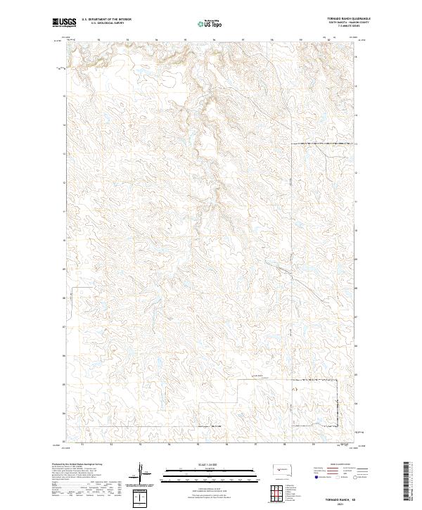
1983 Map of Tornado Ranch
USGS Topo · Published 1984About this map
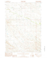
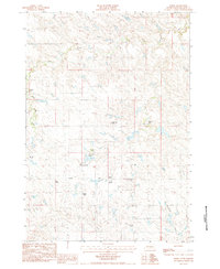
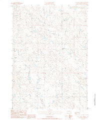
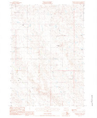
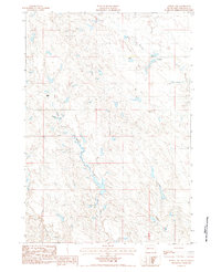
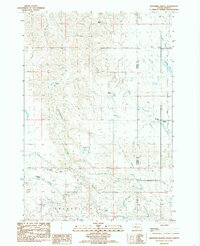
Cottonwood Creek flows through the center of this Haakon County landscape, which is defined by isolated ranching outposts in the early 1980s. The area displays the dispersed settlement patterns typical of western South Dakota, where family-named properties like Noteboom Ranch and O-Neill Ranch serve as primary landmarks across the rolling terrain. Water sources are the critical features for these operations, with drainage from West Plum Creek and South Creek dictating the placement of buildings and grazing lands. A notable insight from this provisional survey is the preservation of specific family names on the land, including the Hansen Ranch and the namesake Tornado Ranch, reflecting a period of established homesteads before more modern consolidation of larger agricultural tracts.
Find a feature on this map
11 named features on this map. Tap any name to fly to it.
Don’t see what you’re looking for? This feature index may not catch every label — zoom into the map to look around manually.
Map Details
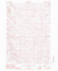
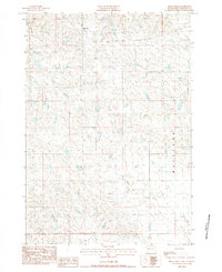
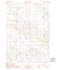
Editions of this 1983 Tornado Ranch Map
This is the sole edition of this map. No revisions or reprints were ever made.
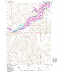
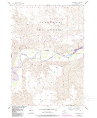
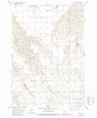
Historical Maps of Haakon County Through Time
165 maps found
1953 Philip SE
Haakon County, SD
1954 Midland SE
Haakon County, SD
1954 Nowlin
Haakon County, SD

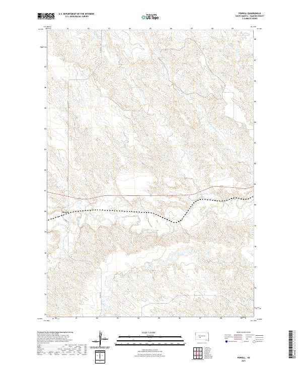
1954 Powell
Haakon County, SD
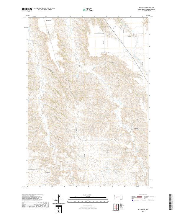
1955 Hilland NW
Haakon County, SD

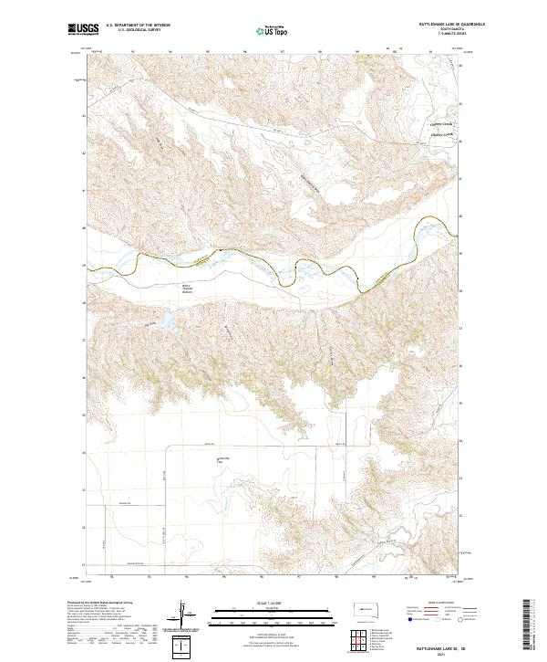
1955 Rattlesnake Lake SE
Haakon County, SD

1955 Rattlesnake Lake SW
Haakon County, SD
1956 Alleman Station
Haakon County, SD
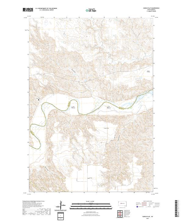
1956 Carlin Flat
Haakon County, SD
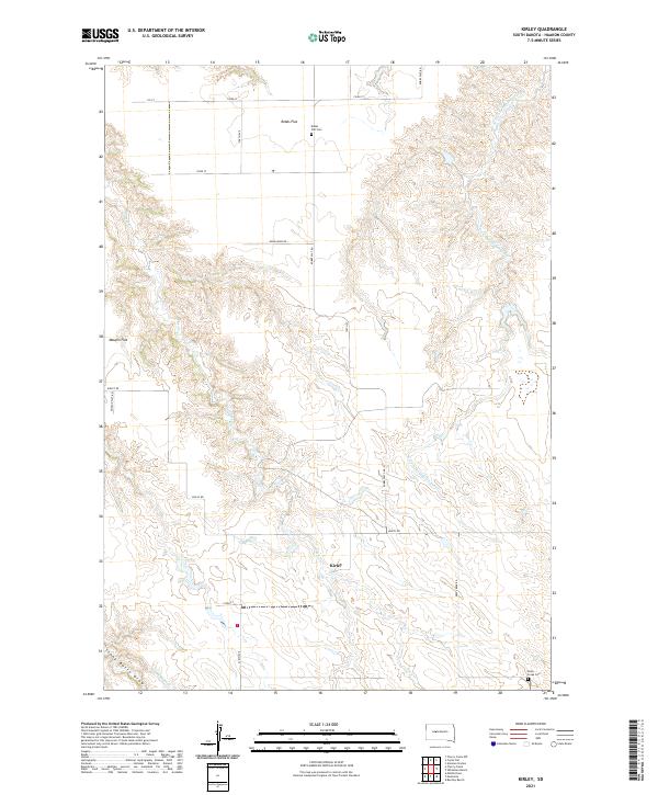
1956 Kirley
Haakon County, SD

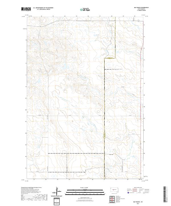
1982 May Ranch
Haakon County, SD
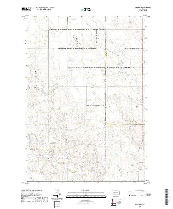
1982 Midland NW
Haakon County, SD

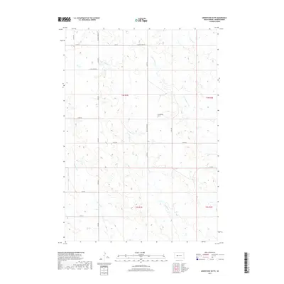
1982 Whiteman Ranch
Haakon County, SD

1983 Bentley Ranch
Haakon County, SD
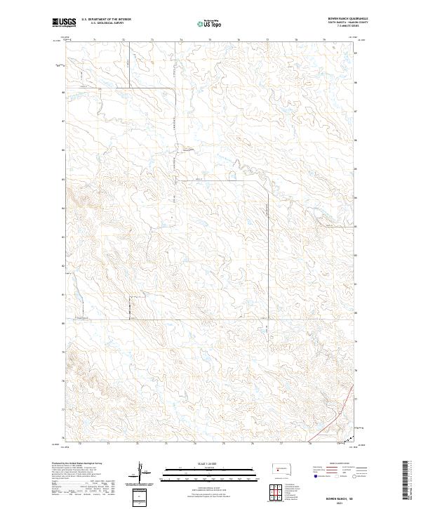
1983 Bowen Ranch
Haakon County, SD
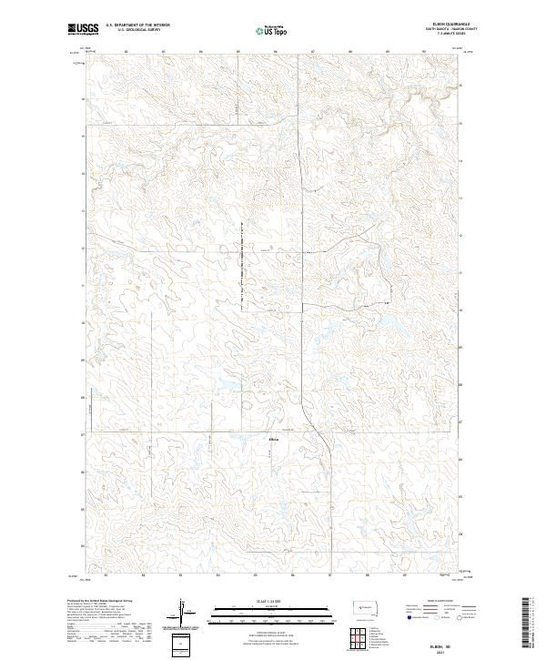
1983 Elbon
Haakon County, SD
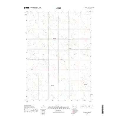
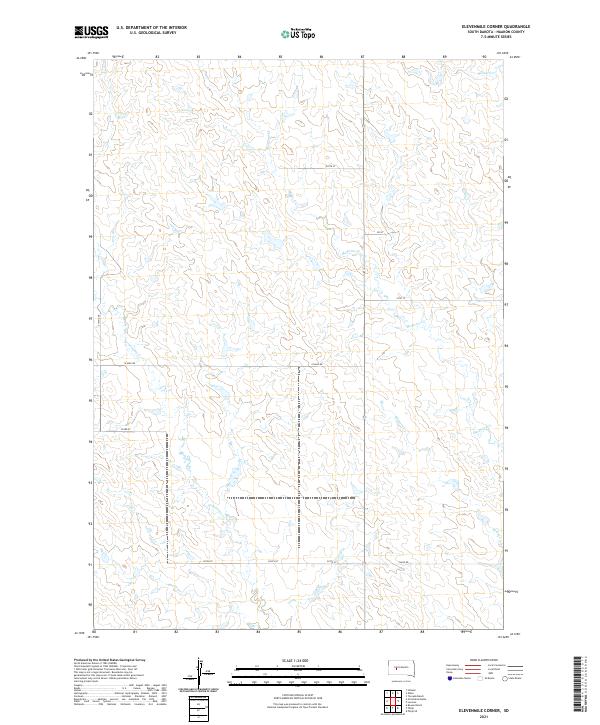
1983 Elevenmile Corner
Haakon County, SD
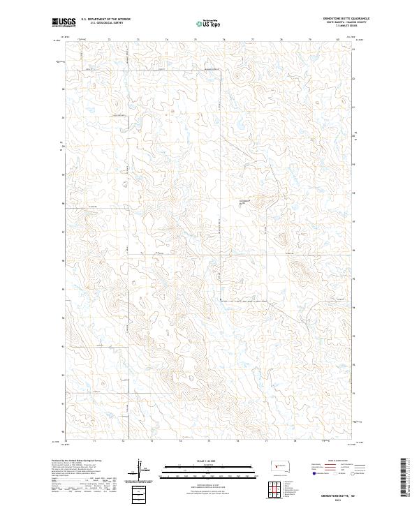
1983 Grindstone Butte
Haakon County, SD
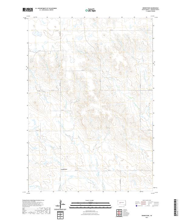
1983 Grindstone
Haakon County, SD
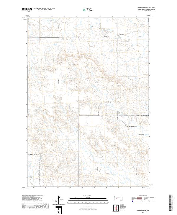
1983 Grindstone SW
Haakon County, SD
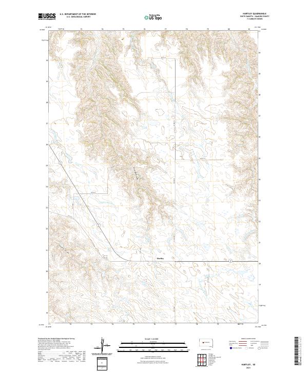
1983 Hartley
Haakon County, SD
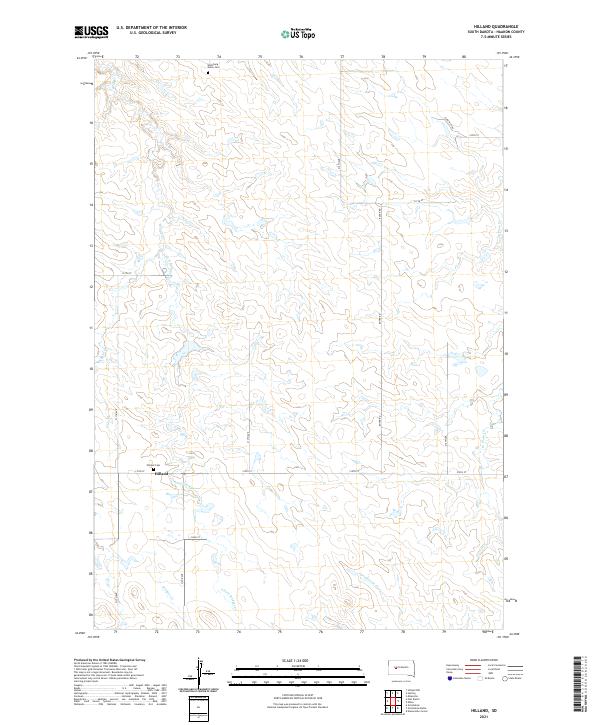
1983 Hilland
Haakon County, SD
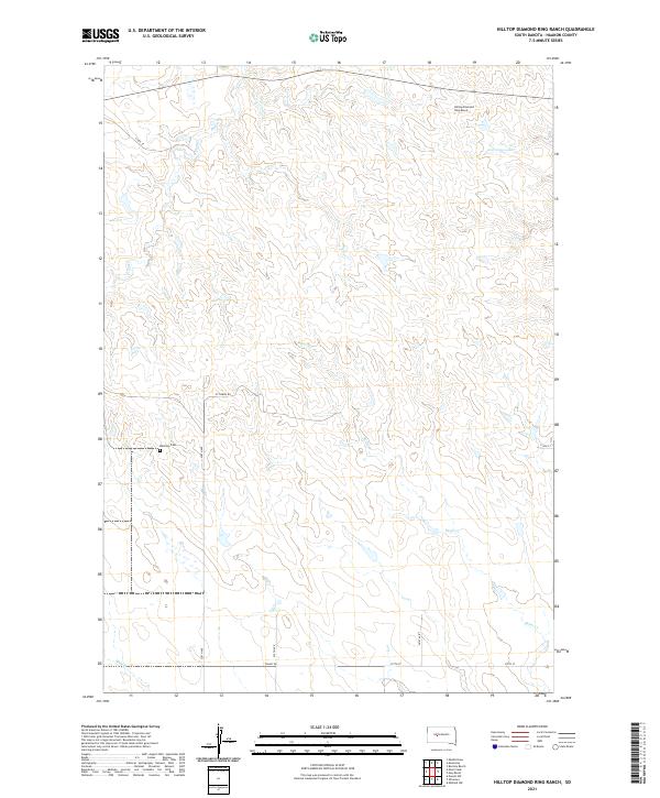
1983 Hilltop Diamond Ring Ranch
Haakon County, SD
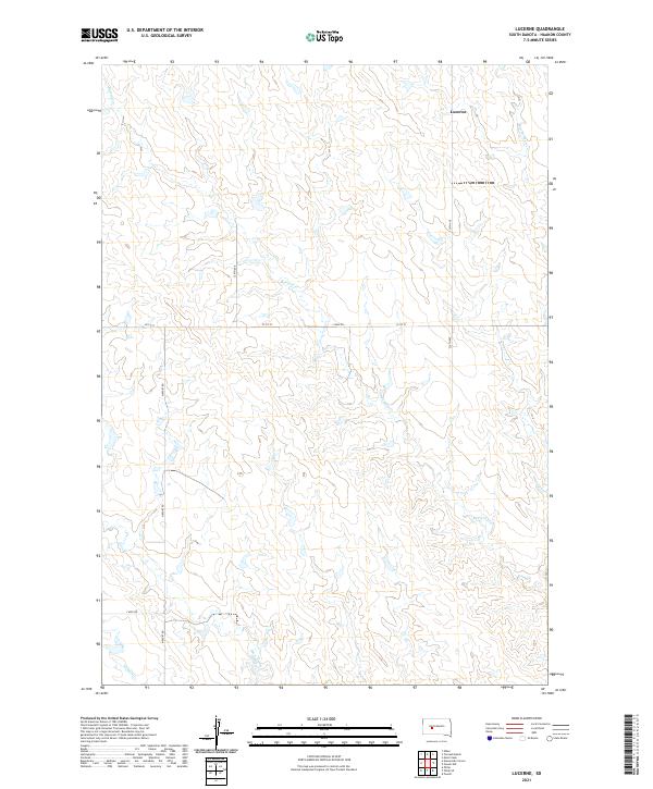
1983 Lucerne
Haakon County, SD
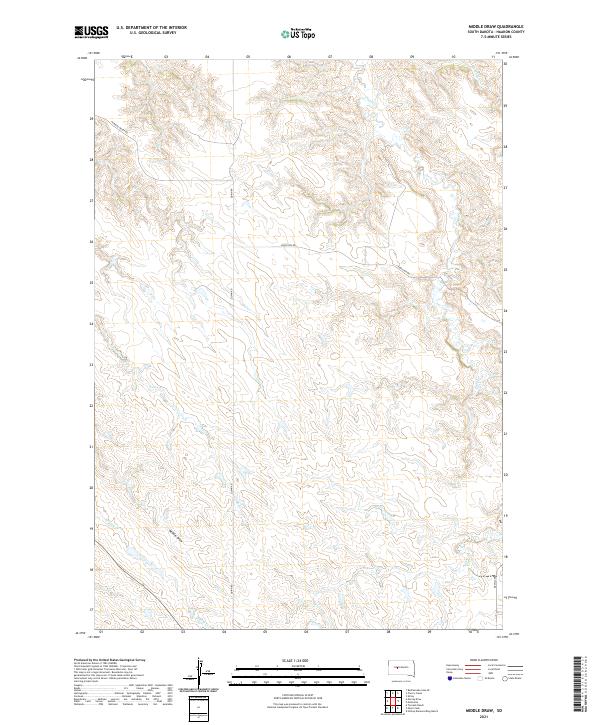
1983 Middle Draw
Haakon County, SD
1983 Milesville
Haakon County, SD
1983 Moenville
Haakon County, SD
1983 Mule Creek
Haakon County, SD
1983 Ottumwa
Haakon County, SD
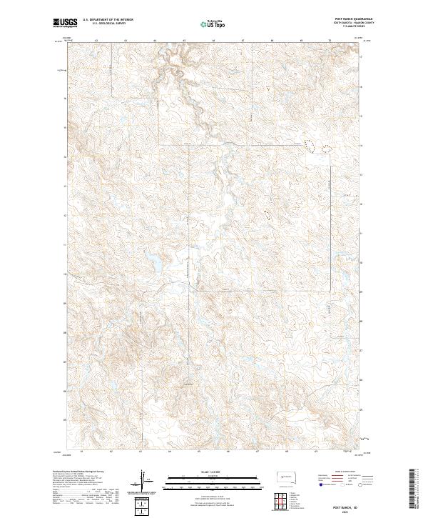
1983 Post Ranch
Haakon County, SD
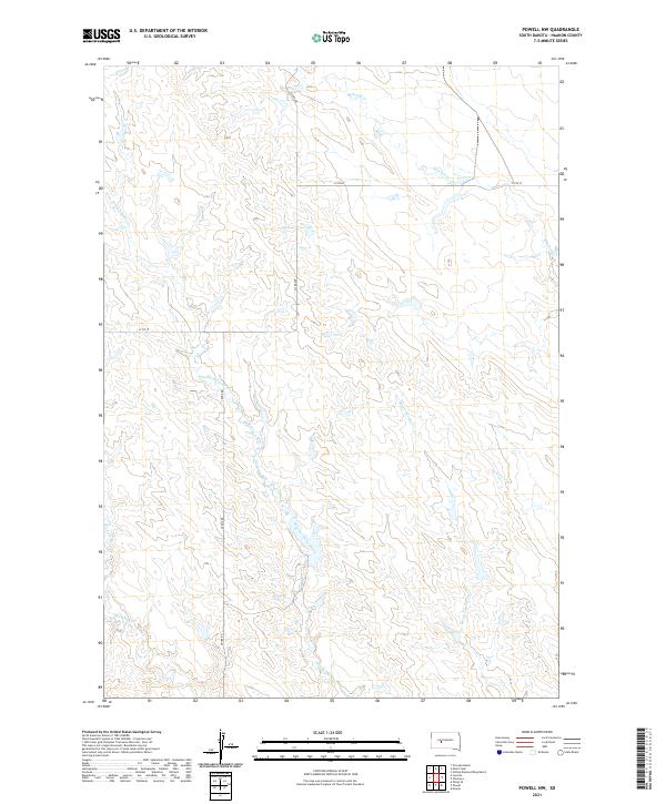
1983 Powell NW
Haakon County, SD
1983 Tornado Ranch
Haakon County, SD
1984 Whiteman Ranch
Haakon County, SD
2012 Alleman Station
Haakon County, SD
2012 Bentley Ranch
Haakon County, SD
2012 Bowen Ranch
Haakon County, SD
2012 Carlin Flat
Haakon County, SD
2012 Elbon
Haakon County, SD
2012 Elevenmile Corner
Haakon County, SD
2012 Grindstone Butte
Haakon County, SD
2012 Grindstone
Haakon County, SD
2012 Grindstone SW
Haakon County, SD
2012 Hartley
Haakon County, SD
2012 Hilland
Haakon County, SD
2012 Hilland NW
Haakon County, SD
2012 Hilltop Diamond Ring Ranch
Haakon County, SD

2012 Kirley
Haakon County, SD
2012 Lucerne
Haakon County, SD
2012 May Ranch
Haakon County, SD
2012 Middle Draw
Haakon County, SD
2012 Midland NW
Haakon County, SD
2012 Midland SE
Haakon County, SD
2012 Milesville
Haakon County, SD
2012 Moenville
Haakon County, SD
2012 Mule Creek
Haakon County, SD
2012 Murray Draw
Haakon County, SD

2012 Nowlin
Haakon County, SD
2012 Ottumwa
Haakon County, SD
2012 Philip SE
Haakon County, SD
2012 Post Ranch
Haakon County, SD
2012 Powell
Haakon County, SD
2012 Powell NW
Haakon County, SD
2012 Rattlesnake Lake SE
Haakon County, SD
2012 Rattlesnake Lake SW
Haakon County, SD
2012 Tornado Ranch
Haakon County, SD
2012 Whiteman Ranch
Haakon County, SD
2015 Alleman Station
Haakon County, SD
2015 Bentley Ranch
Haakon County, SD
2015 Bowen Ranch
Haakon County, SD
2015 Carlin Flat
Haakon County, SD
2015 Elbon
Haakon County, SD
2015 Elevenmile Corner
Haakon County, SD
2015 Grindstone Butte
Haakon County, SD
2015 Grindstone
Haakon County, SD
2015 Grindstone SW
Haakon County, SD
2015 Hartley
Haakon County, SD
2015 Hilland
Haakon County, SD
2015 Hilland NW
Haakon County, SD
2015 Hilltop Diamond Ring Ranch
Haakon County, SD
2015 Kirley
Haakon County, SD
2015 Lucerne
Haakon County, SD
2015 May Ranch
Haakon County, SD
2015 Middle Draw
Haakon County, SD
2015 Midland NW
Haakon County, SD
2015 Midland SE
Haakon County, SD
2015 Milesville
Haakon County, SD
2015 Moenville
Haakon County, SD
2015 Mule Creek
Haakon County, SD
2015 Murray Draw
Haakon County, SD
2015 Nowlin
Haakon County, SD
2015 Ottumwa
Haakon County, SD
2015 Philip SE
Haakon County, SD
2015 Post Ranch
Haakon County, SD
2015 Powell
Haakon County, SD
2015 Powell NW
Haakon County, SD
2015 Rattlesnake Lake SE
Haakon County, SD
2015 Rattlesnake Lake SW
Haakon County, SD
2015 Tornado Ranch
Haakon County, SD
2015 Whiteman Ranch
Haakon County, SD
2017 Alleman Station
Haakon County, SD
2017 Bentley Ranch
Haakon County, SD
2017 Bowen Ranch
Haakon County, SD
2017 Carlin Flat
Haakon County, SD
2017 Elbon
Haakon County, SD
2017 Elevenmile Corner
Haakon County, SD
2017 Grindstone Butte
Haakon County, SD
2017 Grindstone
Haakon County, SD
2017 Grindstone SW
Haakon County, SD
2017 Hartley
Haakon County, SD
2017 Hilland
Haakon County, SD
2017 Hilland NW
Haakon County, SD
2017 Hilltop Diamond Ring Ranch
Haakon County, SD
2017 Kirley
Haakon County, SD
2017 Lucerne
Haakon County, SD
2017 May Ranch
Haakon County, SD
2017 Middle Draw
Haakon County, SD

2017 Midland NW
Haakon County, SD
2017 Midland SE
Haakon County, SD
2017 Milesville
Haakon County, SD
2017 Moenville
Haakon County, SD
2017 Mule Creek
Haakon County, SD
2017 Murray Draw
Haakon County, SD

2017 Nowlin
Haakon County, SD
2017 Ottumwa
Haakon County, SD
2017 Philip SE
Haakon County, SD
2017 Post Ranch
Haakon County, SD
2017 Powell
Haakon County, SD
2017 Powell NW
Haakon County, SD
2017 Rattlesnake Lake SE
Haakon County, SD
2017 Rattlesnake Lake SW
Haakon County, SD
2017 Tornado Ranch
Haakon County, SD
2017 Whiteman Ranch
Haakon County, SD
2021 Alleman Station
Haakon County, SD
2021 Bentley Ranch
Haakon County, SD
2021 Bowen Ranch
Haakon County, SD
2021 Carlin Flat
Haakon County, SD
2021 Elbon
Haakon County, SD
2021 Elevenmile Corner
Haakon County, SD
2021 Grindstone Butte
Haakon County, SD
2021 Grindstone
Haakon County, SD
2021 Grindstone SW
Haakon County, SD
2021 Hartley
Haakon County, SD
2021 Hilland
Haakon County, SD
2021 Hilland NW
Haakon County, SD
2021 Hilltop Diamond Ring Ranch
Haakon County, SD
2021 Kirley
Haakon County, SD
2021 Lucerne
Haakon County, SD
2021 May Ranch
Haakon County, SD
2021 Middle Draw
Haakon County, SD
2021 Midland NW
Haakon County, SD
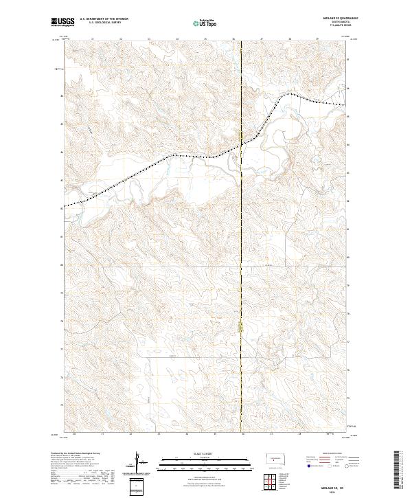
2021 Midland SE
Haakon County, SD
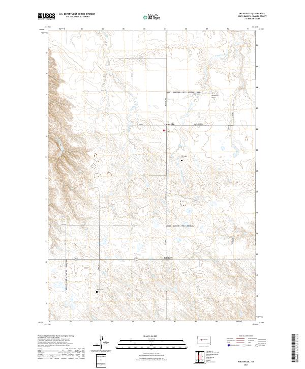
2021 Milesville
Haakon County, SD
2021 Moenville
Haakon County, SD
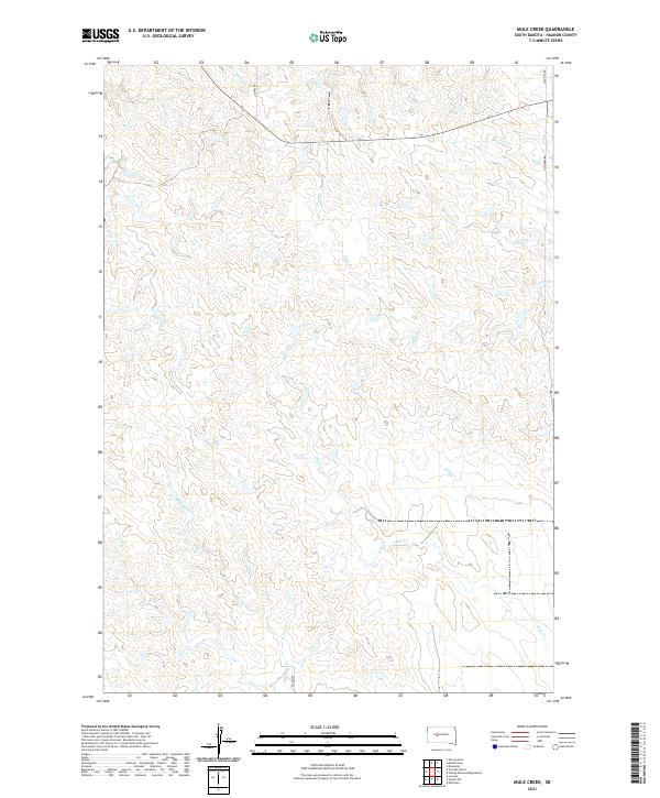
2021 Mule Creek
Haakon County, SD
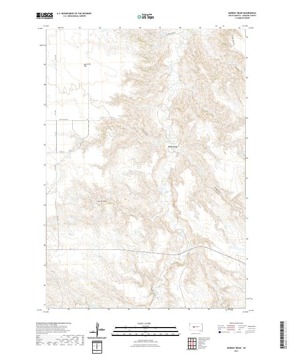
2021 Murray Draw
Haakon County, SD
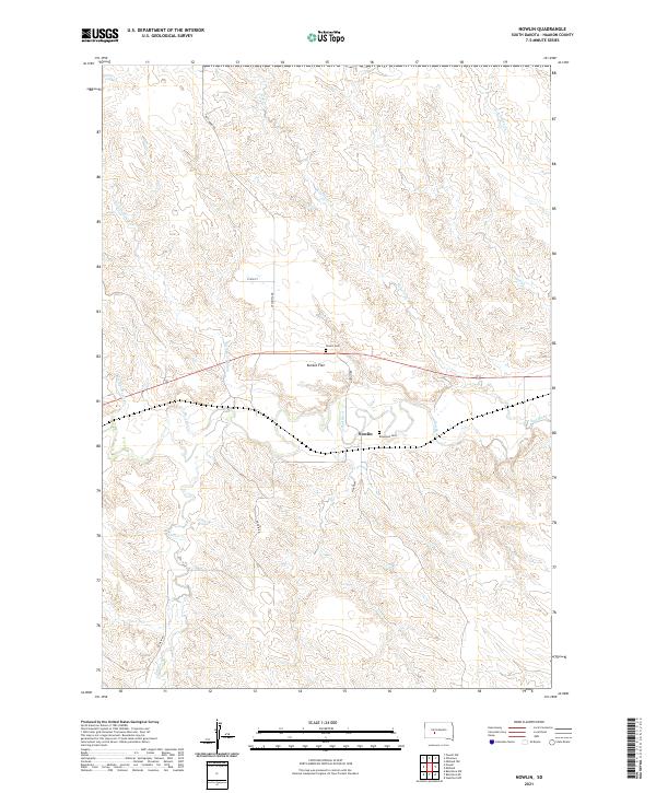
2021 Nowlin
Haakon County, SD
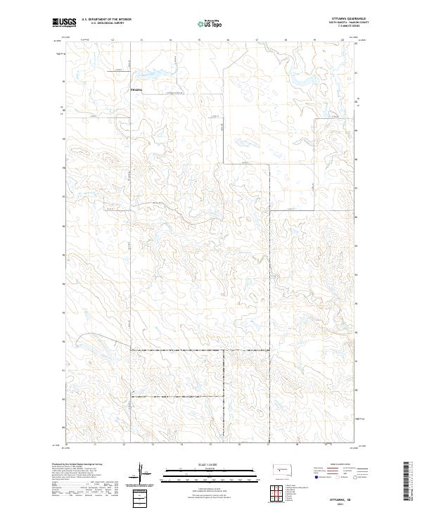
2021 Ottumwa
Haakon County, SD
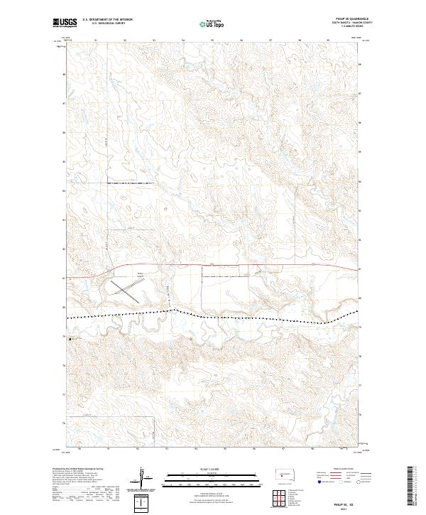
2021 Philip SE
Haakon County, SD
2021 Post Ranch
Haakon County, SD
2021 Powell
Haakon County, SD
2021 Powell NW
Haakon County, SD
2021 Rattlesnake Lake SE
Haakon County, SD
2021 Rattlesnake Lake SW
Haakon County, SD
2021 Tornado Ranch
Haakon County, SD
2021 Whiteman Ranch
Haakon County, SD