
1983 Map of Powell NW
USGS Topo · Published 1984About this map
The high plains of western South Dakota are defined by a network of drainage systems including Mitchell Creek, Hotes Creek, and Squaw Creek in this topographic study. This landscape in Haakon County is characterized by isolated homesteads and ranching operations, such as Heeb Ranch and Hickman Ranch in the northeast and Nelson Ranch to the west. The presence of these named sites provides a valuable record of land ownership and agricultural settlement in the early 1980s. The terrain is further marked by the locality of Witcher and the southern reach of Buzzard Creek, illustrating the sparse but organized distribution of human activity along the area's natural watercourses. The grid of township and range lines, including the boundary between T 3 N and T 2 N, reveals the foundational surveying that organized this portion of the Great Plains.
Find a feature on this map
11 named features on this map. Tap any name to fly to it.
Don’t see what you’re looking for? This feature index may not catch every label — zoom into the map to look around manually.
Map Details
Editions of this 1983 Powell NW Map
This is the sole edition of this map. No revisions or reprints were ever made.
Other maps of this area

1953 · Philip SE
USGS Topo · 1:24,000

1954 · Powell
USGS Topo · 1:24,000

1954 · Nowlin
USGS Topo · 1:24,000

1954 · Pierre
USGS Topo · 1:250,000

1958 · Pierre
USGS Topo · 1:250,000

1983 · Mule Creek
USGS Topo · 1:24,000

1983 · Philip
USGS Topo · 1:100,000

1983 · Tornado Ranch
USGS Topo · 1:24,000
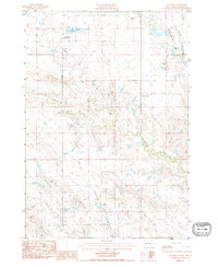
1983 · Ottumwa
USGS Topo · 1:24,000
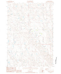
1983 · Lucerne
USGS Topo · 1:24,000