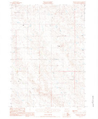
1983 Map of Grindstone Butte
USGS Topo · Published 1984About this map
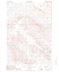
Grindstone Butte anchors this landscape in Haakon County, rising above a network of drainages that define the local ranching geography of the early 1980s. The terrain is deeply etched by Little Grindstone Creek and Mexican Creek, which converge as they flow through the central portion of the survey. To the southwest, Deadmans Creek cuts across the lower corner of the quadrangle. This 1983 provisional edition provides a detailed look at the scattered homesteads that characterize this part of South Dakota, including the Reedy Ranch, Carley Ranch, and Clements Ranch. The map traces the distribution of family-held land through the positioning of several other sites such as the Leonard Frein Ranch and Edward Frein Ranch, offering a clear picture of the region's rural settlement pattern before modern consolidation.
Find a feature on this map
13 named features on this map. Tap any name to fly to it.
Don’t see what you’re looking for? This feature index may not catch every label — zoom into the map to look around manually.
Map Details
Editions of this 1983 Grindstone Butte Map
This is the sole edition of this map. No revisions or reprints were ever made.
Other maps of this area

1953 · Philip
USGS Topo · 1:24,000

1954 · Pierre
USGS Topo · 1:250,000

1958 · Pierre
USGS Topo · 1:250,000

1983 · Post Ranch
USGS Topo · 1:24,000

1983 · Philip
USGS Topo · 1:100,000

1983 · Hilland
USGS Topo · 1:24,000
1983 · Elevenmile Corner
USGS Topo · 1:24,000
1983 · Grindstone
USGS Topo · 1:24,000
1983 · Bowen Ranch
USGS Topo · 1:24,000
1983 · Grindstone SW
USGS Topo · 1:24,000