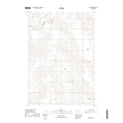
2017 Map of Cherry Creek
USGS Topo · Published 2017About this map
Cherry Creek sits at the northern edge of this West River landscape, positioned where Bia Hwy 6 and Bia HWY 5 meet near the winding course of the Cheyenne River. The terrain is defined by a complex network of drainage draws and high points, including the prominent Stony Butte and its adjacent Stony Butte Draw. Local movement across the prairie is tracked by a grid of rural routes such as Kirley Rd, Quinn Rd, and 195th St. To the east, the elevation levels out at Maupin Flat, while the remainder of the quadrangle is dissected by the many-branched Plum Cr system, including its west and east forks. This 2017 survey illustrates the persistent spatial organization of the Ziebach County and Haakon County boundary line as it follows the river's path through the southern plains.
Find a feature on this map
24 named features on this map. Tap any name to fly to it.
Don’t see what you’re looking for? This feature index may not catch every label — zoom into the map to look around manually.
Map Details
Editions of this 2017 Cherry Creek Map
This is the sole edition of this map. No revisions or reprints were ever made.
Other maps of this area

1954 · Pierre
USGS Topo · 1:250,000

1955 · Rattlesnake Lake SE
USGS Topo · 1:24,000

1955 · Rattlesnake Lake NE
USGS Topo · 1:24,000

1956 · Kirley
USGS Topo · 1:24,000

1956 · Cherry Creek NW
USGS Topo · 1:24,000

1956 · Carlin Flat
USGS Topo · 1:24,000

1956 · Cherry Creek
USGS Topo · 1:24,000

1958 · Pierre
USGS Topo · 1:250,000

1983 · Philip
USGS Topo · 1:100,000

1983 · Moenville
USGS Topo · 1:24,000