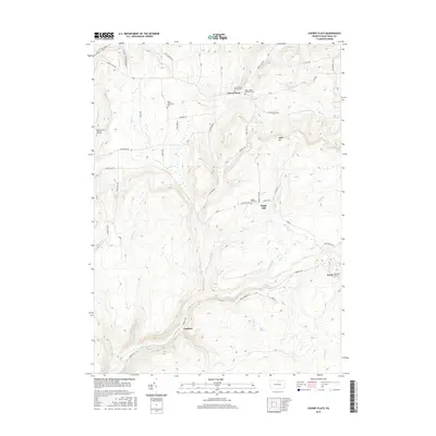
2016 Map of Cherry Flats
USGS Topo · Published 2016About this map
Cherry Flats and Maple Hill anchor this rural landscape in Tioga County, where the topography is defined by the winding descent of Babb Cr and its many tributaries. The area is marked by a significant concentration of small, family-named burial grounds and historical community sites, including the Welsh Settlement Cem and the Buckus Family / Round Top Cem. These sites, along with the Cherry Flats Baptist Cem, suggest a history of tight-knit upland settlements that persisted as the surrounding terrain remained largely wooded and undeveloped.
Find a feature on this map
50 named features on this map. Tap any name to fly to it.
Don’t see what you’re looking for? This feature index may not catch every label — zoom into the map to look around manually.
Map Details
Editions of this 2016 Cherry Flats Map
This is the sole edition of this map. No revisions or reprints were ever made.
Other maps of this area

1900 · Tioga
USGS Topo · 1:62,500

1900 · Elkland
USGS Topo · 1:62,500

1902 · Tioga
USGS Topo · 1:62,500

1925 · Blossburg
USGS Topo · 1:62,500

1927 · Blossburg
USGS Topo · 1:62,500

1944 · Blossburg
USGS Topo · 1:62,500

1946 · Antrim
USGS Topo · 1:62,500

1946 · Antrim
USGS Topo · 1:24,000

1946 · Morris
USGS Topo · 1:24,000

1948 · Antrim
USGS Topo · 1:24,000
Featured Places
- Morris Township, PA
- Duncan Township, PA
- Bloss Township, PA
- Cherry Flats, Covington Township
- Maple Hill, Bloss Township