
1946 Map of Morris
USGS Topo · Published 1965About this map
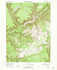
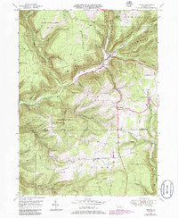
The mountain valleys of Tioga and Lycoming Counties define this mid-century survey, where the winding course of Babb Creek serves as a primary corridor for development. The village of Morris stands at a key junction, joined by neighboring Hoytville along the creek banks. This area is characterized by steep ridges like Hickory Ridge and Texas Mountain, with narrow runs and hollows such as Tannery Run and Skunk Hollow cutting through the timbered uplands.
Find a feature on this map
59 named features on this map. Tap any name to fly to it.
Don’t see what you’re looking for? This feature index may not catch every label — zoom into the map to look around manually.
Map Details
Editions of this 1946 Morris Map
3 editions found
Other maps of this area

1921 · Trout Run
USGS Topo · 1:62,500

1923 · Trout Run
USGS Topo · 1:62,500

1925 · Blossburg
USGS Topo · 1:62,500

1927 · Blossburg
USGS Topo · 1:62,500

1937 · Waterville
USGS Topo · 1:48,000

1943 · Waterville
USGS Topo · 1:62,500

1944 · Blossburg
USGS Topo · 1:62,500

1944 · Trout Run
USGS Topo · 1:62,500

1946 · Tiadaghton
USGS Topo · 1:24,000

1946 · Antrim
USGS Topo · 1:62,500
Featured Places
- Morris Township, PA
- Duncan Township, PA
- Brown Township, PA
- Pine Township, PA
- Mount Pleasant, Morris Township