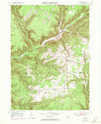
1946 Map of Morris
USGS Topo · Published 1972About this map
Morris and Hoytville serve as the primary hubs in this mid-century survey of the high plateau and deeply incised valleys along the Tioga and Lycoming county line. The rail-and-timber history of the region is evident in the path of the Erie-Lackawanna railroad, which follows the winding course of Babb Creek through the center of the quadrangle. High points like Tannery Hill and Texas Mountain overlook a landscape carved by numerous runs and hollows, including Stony Fork and Wilson Creek.
Find a feature on this map
60 named features on this map. Tap any name to fly to it.
Don’t see what you’re looking for? This feature index may not catch every label — zoom into the map to look around manually.
Map Details
Editions of this 1946 Morris Map
3 editions found

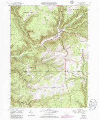
Other maps of this area

1921 · Trout Run
USGS Topo · 1:62,500

1923 · Trout Run
USGS Topo · 1:62,500

1925 · Blossburg
USGS Topo · 1:62,500

1927 · Blossburg
USGS Topo · 1:62,500

1937 · Waterville
USGS Topo · 1:48,000

1943 · Waterville
USGS Topo · 1:62,500

1944 · Blossburg
USGS Topo · 1:62,500

1944 · Trout Run
USGS Topo · 1:62,500

1946 · Tiadaghton
USGS Topo · 1:24,000

1946 · Antrim
USGS Topo · 1:62,500
Featured Places
- Morris Township, PA
- Duncan Township, PA
- Brown Township, PA
- Pine Township, PA
- Mount Pleasant, Morris Township