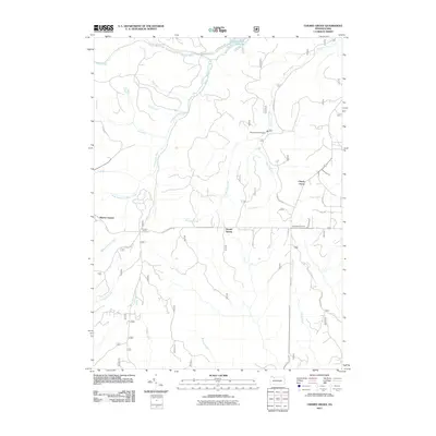
2011 Map of Cherry Grove
USGS Topo · Published 2011About this map
Cherry Grove and the surrounding woodlands of Warren County define this landscape in the early 21st century. The map details a complex drainage system led by Minister Creek and the Farnsworth Branch, which carve through the plateau to feed the West Branch Tionesta Creek. These waterways were once the lifeblood of the local timber and tanning industries, and while the heavy industry of the past is less prominent, names like Dunham Siding recall the area's rail-dependent history.
Find a feature on this map
29 named features on this map. Tap any name to fly to it.
Don’t see what you’re looking for? This feature index may not catch every label — zoom into the map to look around manually.
Map Details
Editions of this 2011 Cherry Grove Map
This is the sole edition of this map. No revisions or reprints were ever made.
Other maps of this area

1906 · Warren
USGS Topo · 1:62,500

1907 · Warren
USGS Topo · 1:62,500

1908 · Warren
USGS Topo · 1:62,500

1926 · Youngsville
USGS Topo · 1:62,500

1927 · Tidioute
USGS Topo · 1:48,000

1929 · Youngsville
USGS Topo · 1:62,500

1930 · Tidioute
USGS Topo · 1:62,500

1935 · Sheffield
USGS Topo · 1:48,000

1941 · Sheffield
USGS Topo · 1:62,500

1943 · Youngsville
USGS Topo · 1:62,500
Featured Places
- Cherry Grove Township, PA
- Watson Township, PA
- Howe Township, PA
- Kingsley Township, PA
- Hickory Township, PA