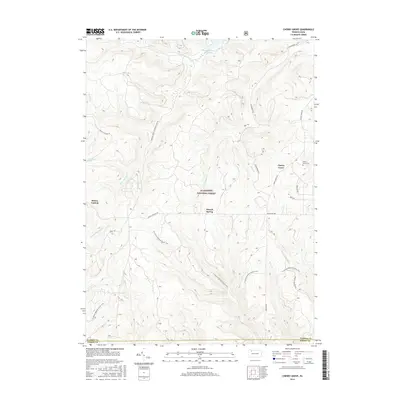
2016 Map of Cherry Grove
USGS Topo · Published 2016About this map
The Allegheny National Forest dominates this section of Warren and Forest counties, where the high plateau is carved by an intricate network of waterways including W Br Tionesta Cr and Farnsworth Br. In the northeast corner, the settlement of Cherry Grove sits at the intersection of local routes, served by the nearby Cherry Grove Cem. The map illustrates a landscape of managed timber and conservation, featuring the N Country National Scenic Trail as it winds through the southern reaches of the quadrangle.
Find a feature on this map
30 named features on this map. Tap any name to fly to it.
Don’t see what you’re looking for? This feature index may not catch every label — zoom into the map to look around manually.
Map Details
Editions of this 2016 Cherry Grove Map
This is the sole edition of this map. No revisions or reprints were ever made.
Other maps of this area

1906 · Warren
USGS Topo · 1:62,500

1907 · Warren
USGS Topo · 1:62,500

1908 · Warren
USGS Topo · 1:62,500

1926 · Youngsville
USGS Topo · 1:62,500

1927 · Tidioute
USGS Topo · 1:48,000

1929 · Youngsville
USGS Topo · 1:62,500

1930 · Tidioute
USGS Topo · 1:62,500

1935 · Sheffield
USGS Topo · 1:48,000

1941 · Sheffield
USGS Topo · 1:62,500

1943 · Youngsville
USGS Topo · 1:62,500
Featured Places
- Cherry Grove Township, PA
- Watson Township, PA
- Howe Township, PA
- Kingsley Township, PA
- Hickory Township, PA