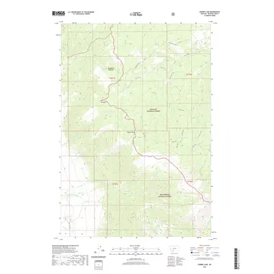
2020 Map of Cherry Lake
USGS Topo · Published 2020About this map
Cowboys Heaven marks a high-altitude point of interest within the high country of the Madison Range, where the boundaries of the Gallatin National Forest and Beaverhead National Forest converge. This area is defined by a dense network of mountain drainage systems, including the headwaters of Cherry Creek and Jourdaine Creek. The map reveals the intricate alpine hydrology of the region, specifically at High Lakes and the namesake Cherry Lake.
Find a feature on this map
32 named features on this map. Tap any name to fly to it.
Don’t see what you’re looking for? This feature index may not catch every label — zoom into the map to look around manually.
Map Details
Editions of this 2020 Cherry Lake Map
This is the sole edition of this map. No revisions or reprints were ever made.
Other maps of this area

1888 · Three Forks
USGS Topo · 1:250,000

1894 · Three Forks
USGS Topo · 1:250,000

1895 · Three Forks
USGS Topo · 1:250,000

1947 · Bozeman
USGS Topo · 1:250,000

1948 · Bozeman
USGS Topo · 1:250,000

1949 · Anceney
USGS Topo · 1:62,500

1949 · Ennis
USGS Topo · 1:62,500

1949 · Norris
USGS Topo · 1:62,500

1950 · Spanish Peaks
USGS Topo · 1:62,500

1951 · Norris
USGS Topo · 1:62,500