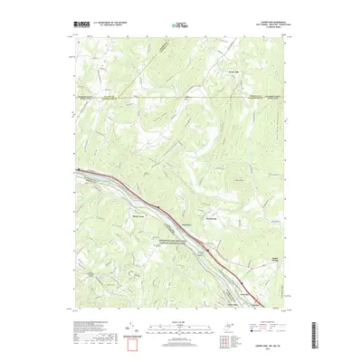
2019 Map of Cherry Run
USGS Topo · Published 2019About this map
Licking Creek flows southward through a landscape defined by prominent ridgelines like Elbow Ridge and Orchard Ridge, eventually meeting the Potomac River at the Maryland-West Virginia border. This corridor is dominated by the Chesapeake and Ohio Canal National Historical Park, where the notable Licking Creek Aqueduct stands as a landmark of nineteenth-century engineering. The map reveals a high concentration of genealogical sites, including Stone Bridge Cem near the Pennsylvania border and Pleasant Hill Cem further south.
Find a feature on this map
116 named features on this map. Tap any name to fly to it.
Don’t see what you’re looking for? This feature index may not catch every label — zoom into the map to look around manually.
Map Details
Editions of this 2019 Cherry Run Map
This is the sole edition of this map. No revisions or reprints were ever made.
Other maps of this area

1899 · Hancock
USGS Topo · 1:62,500

1900 · Mercersburg
USGS Topo · 1:62,500

1901 · Hancock
USGS Topo · 1:62,500

1902 · Mercersburg
USGS Topo · 1:62,500

1912 · Williamsport
USGS Topo · 1:62,500

1925 · Needmore
USGS Topo · 1:48,000

1935 · Needmore
USGS Topo · 1:62,500

1939 · Needmore
USGS Topo · 1:62,500

1942 · Hagerstown
USGS Topo · 1:125,000

1943 · Hagerstown
USGS Topo · 1:125,000