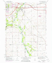
1968 Map of Cherry Valley
USGS Topo · Published 1977About this map
Cherry Valley serves as the central hub of this northern Illinois survey, where the Chicago and North Western and Illinois Central rail lines converge near the banks of the Kishwaukee River. The landscape reveals a post-war transition, showing the eastward expansion of Rockford and the development of major transit corridors like Harrison Avenue and Charles Street.
Find a feature on this map
45 named features on this map. Tap any name to fly to it.
Don’t see what you’re looking for? This feature index may not catch every label — zoom into the map to look around manually.
Map Details
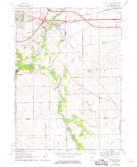
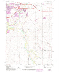
Editions of this 1968 Cherry Valley Map
3 editions found
Other maps of this area

1917 · Kings
USGS Topo · 1:62,500

1918 · Rockford
USGS Topo · 1:62,500

1918 · Belvidere
USGS Topo · 1:62,500

1918 · Kings
USGS Topo · 1:62,500

1918 · Kirkland
USGS Topo · 1:62,500

1938 · Rockford
USGS Topo · 1:62,500

1944 · Belvidere
USGS Topo · 1:62,500

1949 · Camp Grant
USGS Topo · 1:24,000

1949 · Rockford
USGS Topo · 1:24,000

1954 · Rockford
USGS Topo · 1:250,000