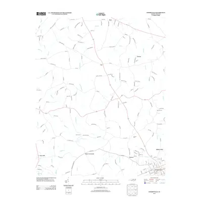
2013 Map of Cherryville
USGS Topo · Published 2013About this map
Cherryville anchors the southern edge of this Gaston County landscape, where the street grid of the town center transitions into a network of rural roads and established family farmsteads. The surrounding countryside is defined by agricultural pockets like Beam Dairy Farm, River Taw Farms, and Half Halt Farms, reflecting a persistent dairy and livestock economy. Small rural crossroads and settlements such as Flay, Orleans, and Dora are scattered across the northern reaches, connected by thoroughfares such as Bess Chapel Church Rd and Fairview School Rd.
Find a feature on this map
154 named features on this map. Tap any name to fly to it.
Don’t see what you’re looking for? This feature index may not catch every label — zoom into the map to look around manually.
Map Details
Editions of this 2013 Cherryville Map
This is the sole edition of this map. No revisions or reprints were ever made.
Other maps of this area

1895 · Hickory
USGS Topo · 1:125,000

1905 · Morganton
USGS Topo · 1:125,000

1909 · Lincolnton
USGS Topo · 1:62,500

1911 · Lincolnton
USGS Topo · 1:62,500

1950 · Shelby
USGS Topo · 1:62,500

1953 · Charlotte
USGS Topo · 1:250,000

1954 · Charlotte
USGS Topo · 1:250,000

1956 · Casar
USGS Topo · 1:24,000

1960 · Charlotte
USGS Topo · 1:250,000

1962 · Charlotte
USGS Topo · 1:250,000