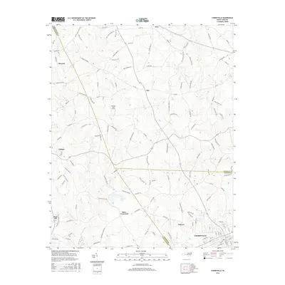
2016 Map of Cherryville
USGS Topo · Published 2016About this map
Cherryville anchors the southeast corner of this survey, where the borders of Gaston, Lincoln, and Cleveland Counties converge. The landscape is defined by the headwaters of the Muddy Fork and the winding course of Buffalo Creek, which drain a region characterized by small crossroads settlements and family-named homesteads. Rural centers like Fallston, Baker Crossroads, and Flay are connected by a network of farm roads, including Bess Chapel Church Rd and Kadesh Church Rd, reflecting the area's agricultural and communal roots. The presence of Beam Mill and the Laughing Crow Airport highlights the mix of traditional industry and small-scale aviation that shaped this Piedmont corridor. Researchers will find numerous cemeteries and church landmarks scattered throughout the hills, providing a detailed look at the settlement patterns that have endured in this part of North Carolina.
Find a feature on this map
136 named features on this map. Tap any name to fly to it.
Don’t see what you’re looking for? This feature index may not catch every label — zoom into the map to look around manually.
Map Details
Editions of this 2016 Cherryville Map
This is the sole edition of this map. No revisions or reprints were ever made.
Other maps of this area

1895 · Hickory
USGS Topo · 1:125,000

1905 · Morganton
USGS Topo · 1:125,000

1909 · Lincolnton
USGS Topo · 1:62,500

1911 · Lincolnton
USGS Topo · 1:62,500

1950 · Shelby
USGS Topo · 1:62,500

1953 · Charlotte
USGS Topo · 1:250,000

1954 · Charlotte
USGS Topo · 1:250,000

1956 · Casar
USGS Topo · 1:24,000

1960 · Charlotte
USGS Topo · 1:250,000

1962 · Charlotte
USGS Topo · 1:250,000