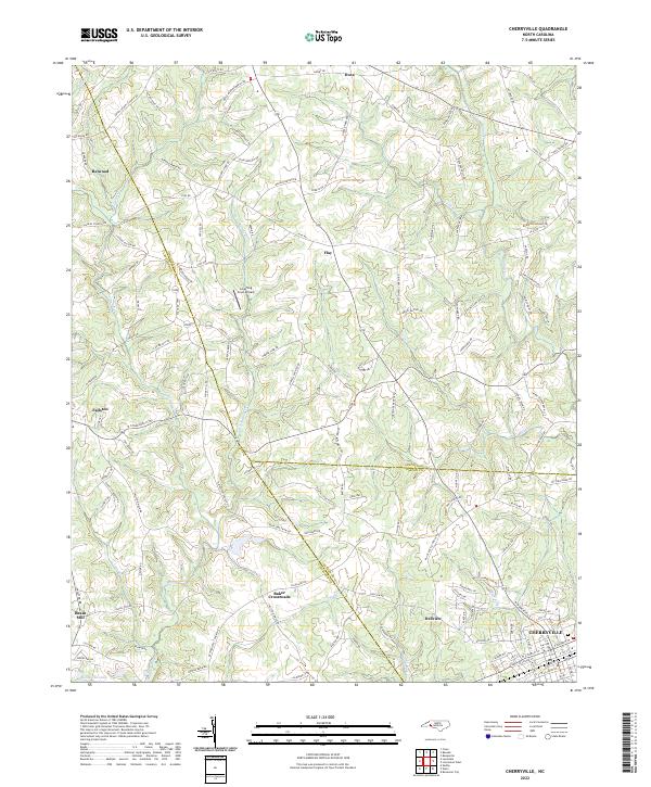
2022 Map of Cherryville
USGS Topo · Published 2022About this map
Cherryville serves as a prominent anchor in the southeastern corner of this region, where the borders of Gaston, Cleveland, and Lincoln counties converge. This modern study documents a landscape shaped by both early industry and evolving land use, from the traditional operations at Beam Mill to the specialized aviation at Laughing Crow Airpark near Flay. The drainage of the area is defined by the winding paths of Buffalo Creek and its tributaries, including Little Buffalo Creek and Suck Creek. Smaller settlements and crossroads like Fallston, Baker Crossroads, and Dellview are scattered throughout the rural corridors, connected by a network of family-named roads such as Doyle Beam Memorial Rd and Morrison Houser Trl. The topography is characterized by features like Long Ridge, which influences the local creek patterns and historical settlement clusters in this part of North Carolina.
Find a feature on this map
143 named features on this map. Tap any name to fly to it.
Don’t see what you’re looking for? This feature index may not catch every label — zoom into the map to look around manually.
Map Details
Editions of this 2022 Cherryville Map
This is the sole edition of this map. No revisions or reprints were ever made.
Other maps of this area

1895 · Hickory
USGS Topo · 1:125,000

1905 · Morganton
USGS Topo · 1:125,000

1909 · Lincolnton
USGS Topo · 1:62,500

1911 · Lincolnton
USGS Topo · 1:62,500

1950 · Shelby
USGS Topo · 1:62,500

1953 · Charlotte
USGS Topo · 1:250,000

1954 · Charlotte
USGS Topo · 1:250,000

1956 · Casar
USGS Topo · 1:24,000

1960 · Charlotte
USGS Topo · 1:250,000

1962 · Charlotte
USGS Topo · 1:250,000