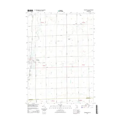
2014 Map of Chesaning East
USGS Topo · Published 2014About this map
The Shiawassee River cuts through the western edge of this agricultural landscape, anchoring the village of Chesaning at a point where several tributaries, including Bear Cr, converge. This 2014 survey captures a well-established rural infrastructure defined by an extensive system of agricultural drainage, such as Richter Drain, Wickham Drain, and the Eickholt Drain. These channels facilitate farming across the flat terrain of Saginaw County, illustrating the modification of the natural watershed to support the local economy.
Find a feature on this map
67 named features on this map. Tap any name to fly to it.
Don’t see what you’re looking for? This feature index may not catch every label — zoom into the map to look around manually.
Map Details
Editions of this 2014 Chesaning East Map
This is the sole edition of this map. No revisions or reprints were ever made.
Other maps of this area

1917 · Chesaning
USGS Topo · 1:62,500

1917 · St. Charles
USGS Topo · 1:62,500

1919 · Saginaw
USGS Topo · 1:62,500

1919 · Burt
USGS Topo · 1:62,500

1921 · Burt
USGS Topo · 1:62,500

1941 · Saginaw
USGS Topo · 1:62,500

1943 · Burt
USGS Topo · 1:62,500

1943 · Chesaning
USGS Topo · 1:62,500

1943 · Saginaw
USGS Topo · 1:62,500

1943 · St. Charles
USGS Topo · 1:62,500