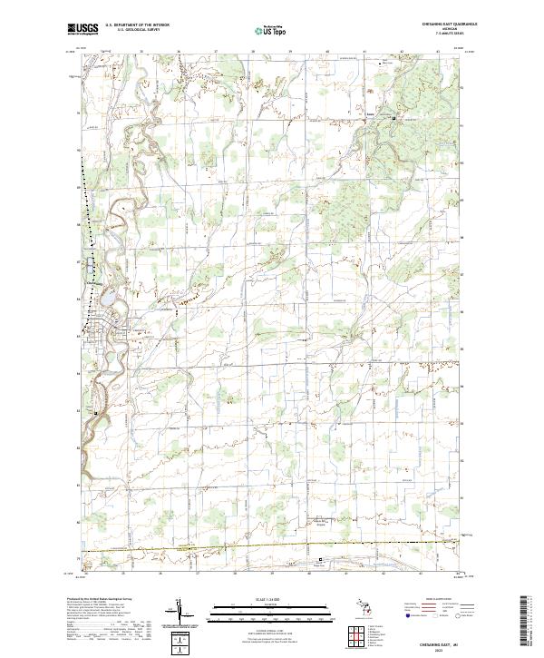
2023 Map of Chesaning East
USGS Topo · Published 2023About this map
The Shiawassee River anchors this agricultural landscape of central Michigan, winding northward toward the village of Chesaning. The terrain is defined by a dense network of water management features, including the Albert Drain, Ivey Drain, and Sigmund Drain, which reflect a century of engineering required to support the productive farmlands between the Saginaw and Shiawassee county line.
Find a feature on this map
69 named features on this map. Tap any name to fly to it.
Don’t see what you’re looking for? This feature index may not catch every label — zoom into the map to look around manually.
Map Details
Editions of this 2023 Chesaning East Map
This is the sole edition of this map. No revisions or reprints were ever made.
Other maps of this area

1917 · Chesaning
USGS Topo · 1:62,500

1917 · St. Charles
USGS Topo · 1:62,500

1919 · Saginaw
USGS Topo · 1:62,500

1919 · Burt
USGS Topo · 1:62,500

1921 · Burt
USGS Topo · 1:62,500

1941 · Saginaw
USGS Topo · 1:62,500

1943 · Burt
USGS Topo · 1:62,500

1943 · Chesaning
USGS Topo · 1:62,500

1943 · Saginaw
USGS Topo · 1:62,500

1943 · St. Charles
USGS Topo · 1:62,500