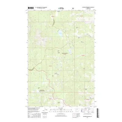
2017 Map of Chessman Reservoir
USGS Topo · Published 2017About this map
Chessman Reservoir serves as a central hydrological feature within this high-elevation landscape straddling the boundary between Lewis and Clark and Jefferson counties. The terrain is defined by a series of prominent peaks and basins, including Lava Mtn and the sprawling Occidental Plateau, which transition into the protected lands of the Helena National Forest and Deerlodge National Forest.
Find a feature on this map
47 named features on this map. Tap any name to fly to it.
Don’t see what you’re looking for? This feature index may not catch every label — zoom into the map to look around manually.
Map Details
Editions of this 2017 Chessman Reservoir Map
This is the sole edition of this map. No revisions or reprints were ever made.
Other maps of this area

1889 · Helena
USGS Topo · 1:250,000

1893 · Helena
USGS Topo · 1:250,000

1899 · Boulder
USGS Topo · 1:125,000

1899 · Helena
USGS Topo · 1:62,500

1899 · Helena
USGS Topo · 1:250,000

1903 · Helena
USGS Topo · 1:250,000

1947 · Butte
USGS Topo · 1:250,000

1950 · Jefferson City
USGS Topo · 1:62,500

1950 · Helena
USGS Topo · 1:62,500

1954 · Basin
USGS Topo · 1:62,500