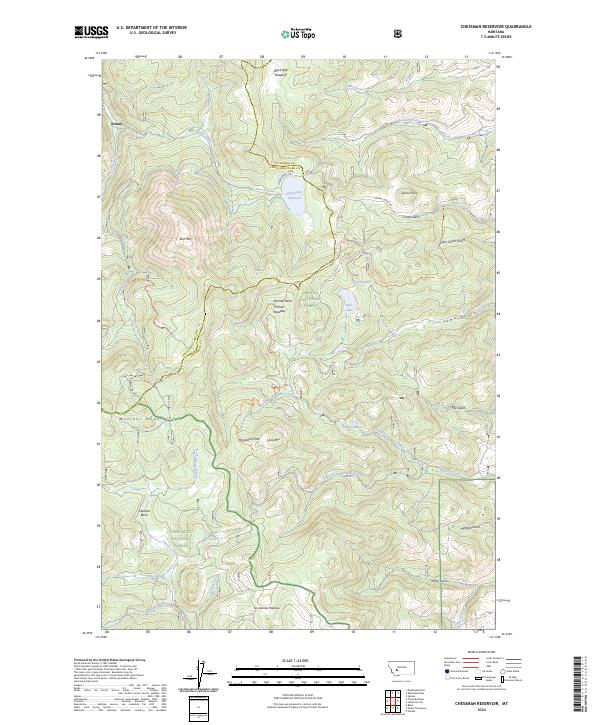
2024 Map of Chessman Reservoir
USGS Topo · Published 2024About this map
Rimini marks the northern edge of this high-altitude landscape, where the headwaters of the Tenmile Creek drainage collect in the Chessman Reservoir. This area of the Boulder Mountains is defined by a complex network of alpine basins and meadows, such as Frohner Basin and Black Hall Meadows, situated within the Helena National Forest and Deerlodge National Forest. The geography is dominated by prominent summits including Lava Mtn and Red Mtn, with the vast Occidental Plateau providing a high-country backdrop.
Find a feature on this map
50 named features on this map. Tap any name to fly to it.
Don’t see what you’re looking for? This feature index may not catch every label — zoom into the map to look around manually.
Map Details
Editions of this 2024 Chessman Reservoir Map
This is the sole edition of this map. No revisions or reprints were ever made.
Other maps of this area

1889 · Helena
USGS Topo · 1:250,000

1893 · Helena
USGS Topo · 1:250,000

1899 · Boulder
USGS Topo · 1:125,000

1899 · Helena
USGS Topo · 1:62,500

1899 · Helena
USGS Topo · 1:250,000

1903 · Helena
USGS Topo · 1:250,000

1947 · Butte
USGS Topo · 1:250,000

1950 · Jefferson City
USGS Topo · 1:62,500

1950 · Helena
USGS Topo · 1:62,500

1954 · Basin
USGS Topo · 1:62,500