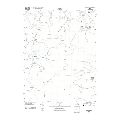
2010 Map of Chester Gap
USGS Topo · Published 2010About this map
Shenandoah National Park dominates this portion of the Blue Ridge, where the famed Skyline Drive winds through high-altitude gaps and overlooks. The landscape is defined by the sharp transition between the protected mountain ridge and the valley agriculture to the west, where family-named lands like Glenway Farm and Triple M Farm sit near the drainage of Gooney Run. Cultural landmarks such as the Front Royal-Warren County Amphitheater near Arco and the Shenandoah Homesteads Project reflect the intersection of public recreation and local community development. The map details numerous geographical features that have long shaped local travel, including Jenkins Gap, Thoroughfare Gap, and the steep descent of Big Devils Stairs. Significant water bodies like the Jordan River and Happy Creek carve through the hollows, while the mountain crest offers vantage points like Signal Knob Overlook and Hogwallow Flat Overlook.
Find a feature on this map
96 named features on this map. Tap any name to fly to it.
Don’t see what you’re looking for? This feature index may not catch every label — zoom into the map to look around manually.
Map Details
Editions of this 2010 Chester Gap Map
This is the sole edition of this map. No revisions or reprints were ever made.
Other maps of this area

1893 · Luray
USGS Topo · 1:125,000

1905 · Luray
USGS Topo · 1:125,000

1929 · Stony Man
USGS Topo · 1:48,000

1933 · Stony Man
USGS Topo · 1:62,500

1939 · Front Royal
USGS Topo · 1:48,000

1944 · Front Royal
USGS Topo · 1:62,500

1947 · Strasburg
USGS Topo · 1:62,500

1949 · Charlottesville
USGS Topo · 1:250,000

1950 · Strasburg
USGS Topo · 1:62,500

1956 · Charlottesville
USGS Topo · 1:250,000
Featured Places
- Chester Gap, VA
- Shenandoah Homesteads Project, VA
- Glen Echo, VA
- Browntown, VA
- Skyline View Mobile Home Park, VA