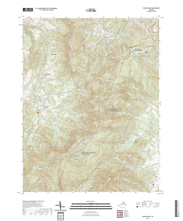
2022 Map of Chester Gap
USGS Topo · Published 2022About this map
Shenandoah National Park dominates this landscape where the high ridges of the Blue Ridge Mountains meet the valley floors of Page Valley. The Appalachian National Scenic Trail winds along the crest, passing through notable landmarks such as Hogwallow Flat, Gravel Springs Gap, and the heights of North Marshall. This modern survey illustrates how recreation and conservation coexist with long-standing rural settlements like Browntown and Boyds Mill.
Find a feature on this map
124 named features on this map. Tap any name to fly to it.
Don’t see what you’re looking for? This feature index may not catch every label — zoom into the map to look around manually.
Map Details
Editions of this 2022 Chester Gap Map
This is the sole edition of this map. No revisions or reprints were ever made.
Other maps of this area

1893 · Luray
USGS Topo · 1:125,000

1905 · Luray
USGS Topo · 1:125,000

1929 · Stony Man
USGS Topo · 1:48,000

1933 · Stony Man
USGS Topo · 1:62,500

1939 · Front Royal
USGS Topo · 1:48,000

1944 · Front Royal
USGS Topo · 1:62,500

1947 · Strasburg
USGS Topo · 1:62,500

1949 · Charlottesville
USGS Topo · 1:250,000

1950 · Strasburg
USGS Topo · 1:62,500

1956 · Charlottesville
USGS Topo · 1:250,000
Featured Places
- Chester Gap, VA
- Shenandoah Homesteads Project, VA
- Glen Echo, VA
- Skyline View Mobile Home Park, VA
- Browntown, VA