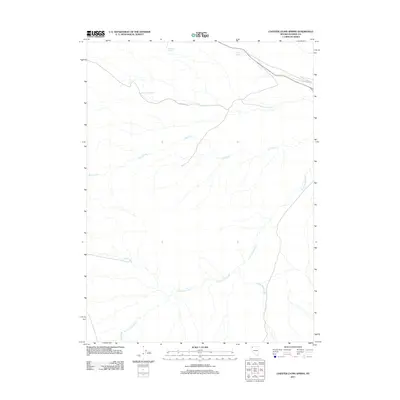
2011 Map of Chester Lyons Spring
USGS Topo · Published 2011About this map
Chester Lyons Spring and other vital water sources define this arid landscape in Washoe County, where seasonal drainages and springs dictate the layout of the high desert. The 2011 survey reveals a territory centered on hydrologic features, with Jims Creek and Cottonwood Creek forming prominent drainage networks across the central and southern portions of the quadrangle. Human movement is primarily marked by Chester Rd, which cuts through the northern sector to connect isolated landmarks like Findman Spring and Gillam Spring. This terrain is characterized by its creek systems, including Clover Creek, Texas Creek, and Grass Valley Creek, indicating a region where water management and natural flow are central to the area's geography and navigation.
Find a feature on this map
9 named features on this map. Tap any name to fly to it.
Don’t see what you’re looking for? This feature index may not catch every label — zoom into the map to look around manually.
Map Details
Editions of this 2011 Chester Lyons Spring Map
This is the sole edition of this map. No revisions or reprints were ever made.
Other maps of this area

1889 · Long Valley
USGS Topo · 1:250,000

1954 · Vya
USGS Topo · 1:250,000

1958 · Vya
USGS Topo · 1:250,000

1962 · Vya
USGS Topo · 1:250,000

1972 · Mahogany Mtn
USGS Topo · 1:24,000

1978 · Hart Mountain
USGS Topo · 1:24,000

1979 · Butte Spring
USGS Topo · 1:24,000
1979 · Pinto Springs
USGS Topo · 1:24,000
1979 · Chester Lyons Spring
USGS Topo · 1:24,000
1980 · Fox Mountain
USGS Topo · 1:24,000