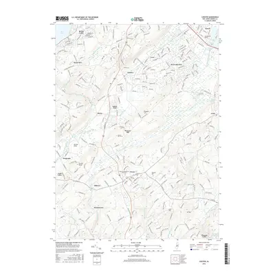
2016 Map of Chester
USGS Topo · Published 2016About this map
The South Branch Raritan River and Lamington River define the hydrography of this New Jersey corridor, carving through the German Valley and the Fox Hill Range. At the northern edge of this 2016 survey, the community of Budd Lake sits near its eponymous water body, while the suburban centers of Succasunna and Flanders anchor the central hills. Historically significant sites are preserved through the landscape, including the Chester Congregational Churchyard in Chester and the Pleasant Hill Cem near Pleasant Hill. The map detail shows a complex network of local roads and housing developments intermixed with older rural tracts like Mt Paul and Hacklebarney. Small settlements such as Bartley, Ironia, and Naughright illustrate the persistent residential patterns established along these highland valleys.
Find a feature on this map
244 named features on this map. Tap any name to fly to it.
Don’t see what you’re looking for? This feature index may not catch every label — zoom into the map to look around manually.
Map Details
Editions of this 2016 Chester Map
This is the sole edition of this map. No revisions or reprints were ever made.
Other maps of this area

1888 · Hackettstown
USGS Topo · 1:62,500

1888 · Lake Hopatcong
USGS Topo · 1:62,500

1890 · High Bridge
USGS Topo · 1:62,500

1891 · Somerville
USGS Topo · 1:62,500

1893 · Somerville
USGS Topo · 1:62,500

1894 · Hackettstown
USGS Topo · 1:62,500

1894 · Lake Hopatcong
USGS Topo · 1:62,500

1898 · Lake Hopatcong
USGS Topo · 1:62,500

1898 · Hackettstown
USGS Topo · 1:62,500

1898 · High Bridge
USGS Topo · 1:62,500
Featured Places
- Mount Olive, NJ
- Roxbury Township, NJ
- Succasunna, Roxbury Township
- Flanders, Mount Olive
- Budd Lake, Mount Olive