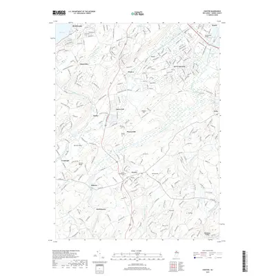
2019 Map of Chester
USGS Topo · Published 2019About this map
The Lamington River and the South Branch Raritan River carve distinct valleys through this portion of Morris County, defining the agricultural and residential corridors of Chester and Flanders. Long-standing local landmarks like the Chester Congregational Cem and Pleasant Hill Cem provide essential anchor points for genealogists researching the area's early families. The terrain is marked by prominent elevations such as the Fox Hill Range and Seward Hill, while the northern reaches include the established lakeside community of Budd Lake.
Find a feature on this map
46 named features on this map. Tap any name to fly to it.
Don’t see what you’re looking for? This feature index may not catch every label — zoom into the map to look around manually.
Map Details
Editions of this 2019 Chester Map
This is the sole edition of this map. No revisions or reprints were ever made.
Other maps of this area

1888 · Hackettstown
USGS Topo · 1:62,500

1888 · Lake Hopatcong
USGS Topo · 1:62,500

1890 · High Bridge
USGS Topo · 1:62,500

1891 · Somerville
USGS Topo · 1:62,500

1893 · Somerville
USGS Topo · 1:62,500

1894 · Hackettstown
USGS Topo · 1:62,500

1894 · Lake Hopatcong
USGS Topo · 1:62,500

1898 · Lake Hopatcong
USGS Topo · 1:62,500

1898 · Hackettstown
USGS Topo · 1:62,500

1898 · High Bridge
USGS Topo · 1:62,500
Featured Places
- Mount Olive, NJ
- Roxbury Township, NJ
- Succasunna, Roxbury Township
- Flanders, Mount Olive
- Budd Lake, Mount Olive