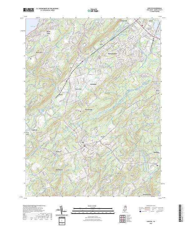
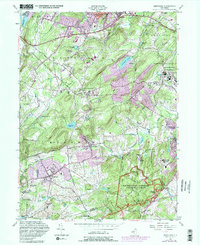
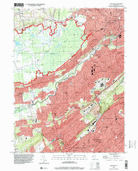
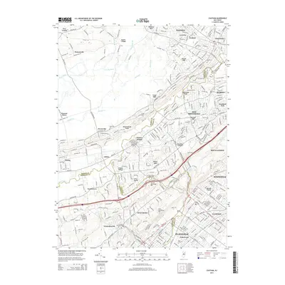
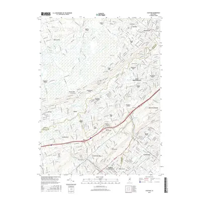
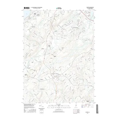
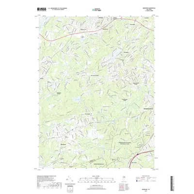
2023 Map of Chester
USGS Topo · Published 2023About this map
German Valley and the Fox Hill Range anchor the geography of this Morris County region, where the South Branch Raritan River and the Lamington River have long shaped the patterns of settlement. Residential development clusters in established centers like Succasunna and Flanders, while the borough of Chester remains a central crossroads at the junction of Co Rd 513 and Co Rd 510. The landscape retains significant open space and local history markers, including the Chester Congregational Cem and the quiet reaches of Hacklebarney. To the north, the waters of Budd Lake and Horseshoe Lake provide a recreational contrast to the industrial and residential corridors of Kenvil and Ledgewood. Smaller hamlets like Bartley, Naughright, and Milltown represent the early agricultural and water-powered roots of the valley, nestled between the higher elevations of Pleasant Hill and Seward Hill.
Find a feature on this map
49 named features on this map. Tap any name to fly to it.
Don’t see what you’re looking for? This feature index may not catch every label — zoom into the map to look around manually.
Map Details
Editions of this 2023 Chester Map
This is the sole edition of this map. No revisions or reprints were ever made.
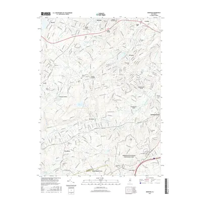
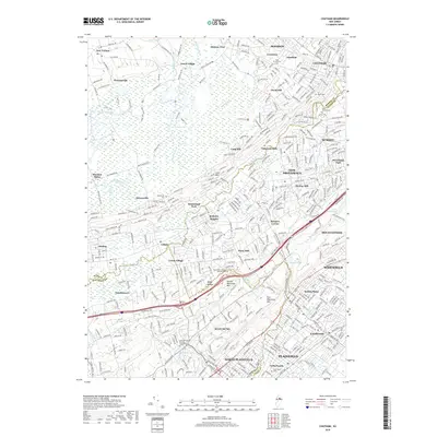
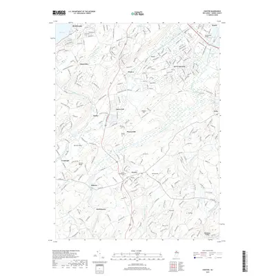
Historical Maps of Mount Olive Through Time
24 maps found

1900 Raritan
Morris County, NJ
1905 Raritan
Morris County, NJ
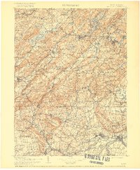
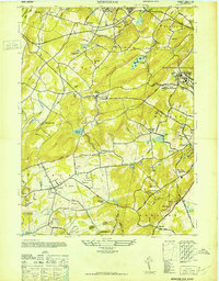
1943 Chester
Morris County, NJ
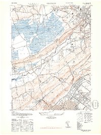
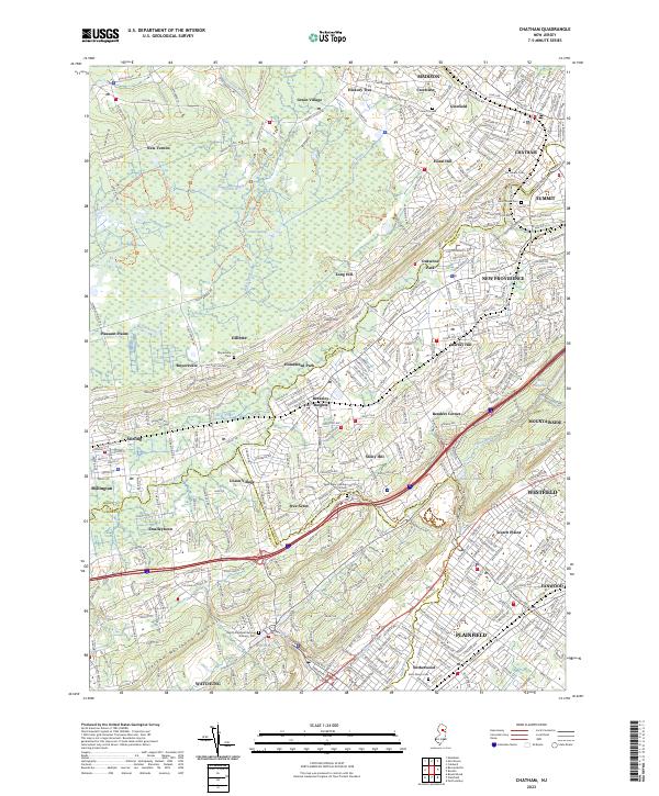
1947 Chatham
Morris County, NJ
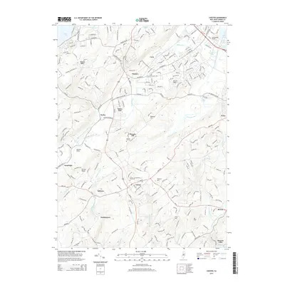
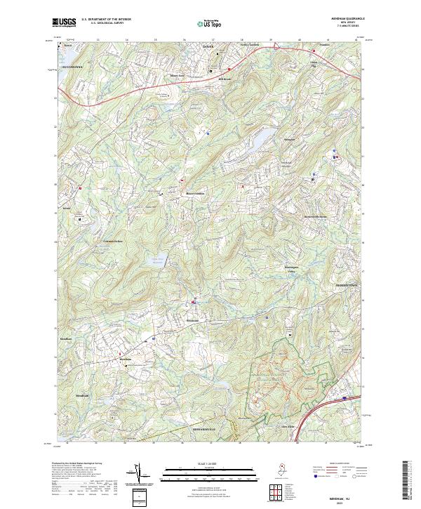
1947 Mendham
Morris County, NJ
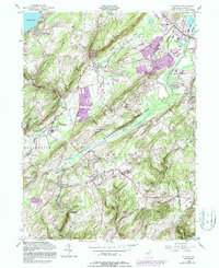
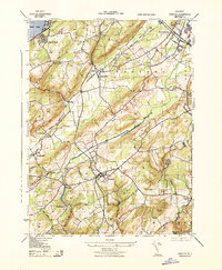
1954 Chester
Morris County, NJ
1954 Mendham
Morris County, NJ
1955 Chatham
Morris County, NJ
1995 Chatham
Morris County, NJ
2011 Chatham
Morris County, NJ
2011 Chester
Morris County, NJ
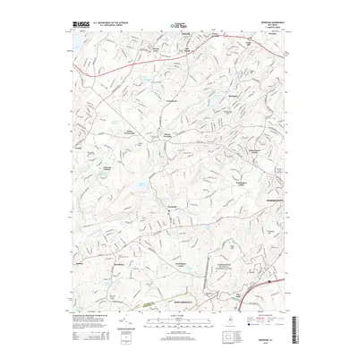
2011 Mendham
Morris County, NJ
2014 Chatham
Morris County, NJ
2014 Chester
Morris County, NJ
2014 Mendham
Morris County, NJ
2016 Chatham
Morris County, NJ
2016 Chester
Morris County, NJ
2016 Mendham
Morris County, NJ
2019 Chatham
Morris County, NJ
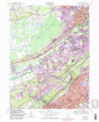
2019 Chester
Morris County, NJ
2019 Mendham
Morris County, NJ
2023 Chatham
Morris County, NJ
2023 Chester
Morris County, NJ
2023 Mendham
Morris County, NJ
Featured Locations
- Roxbury Township, NJ
- Mount Olive, NJ
- Succasunna, Roxbury Township
- Budd Lake, Mount Olive
- Flanders, Mount Olive