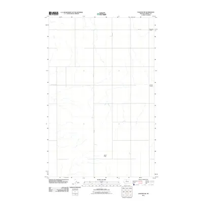
2011 Map of Chester NW
USGS Topo · Published 2011About this map
Adobe Ridge rises above the open high plains of Liberty County in this 2011 survey, reflecting the characteristic geography of northern Montana. The landscape is defined by its drainage patterns, most notably the winding paths of Fourmile Coulee and O'Brien Coulee, which cut through the terrain. Human activity is sparse and structured around a grid of rural roads, including Laird Rd, Smith Rd, and Horse Creek Rd. This map provides a clear record of the area's transition into the 21st century, showing how the land is partitioned and managed for agricultural or range use while maintaining its prominent natural landmarks.
Find a feature on this map
6 named features on this map. Tap any name to fly to it.
Don’t see what you’re looking for? This feature index may not catch every label — zoom into the map to look around manually.
Map Details
Editions of this 2011 Chester NW Map
This is the sole edition of this map. No revisions or reprints were ever made.
Other maps of this area

1919 · Alma
USGS Topo · 1:125,000

1954 · Shelby
USGS Topo · 1:250,000

1958 · Shelby
USGS Topo · 1:250,000

1962 · Tiber
USGS Topo · 1:24,000

1962 · Lakey Ranch
USGS Topo · 1:24,000

1962 · Mount Lebanon
USGS Topo · 1:24,000

1963 · Joplin
USGS Topo · 1:24,000

1963 · Bobcat Coulee SE
USGS Topo · 1:24,000

1963 · Vaver Reservoir
USGS Topo · 1:24,000

1963 · Chester NW
USGS Topo · 1:24,000