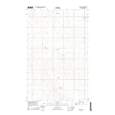
2014 Map of Chester NW
USGS Topo · Published 2014About this map
Adobe Ridge dominates the southern landscape of this high plains region in Liberty County, providing a high-ground perspective over the surrounding drainage networks. The terrain is defined by a series of distinct coulees that carve through the prairie, including Phillipine Coulee in the central portion and O'Brien Coulee further south. These geographic features dictate the local topography and historical movement across the land. The map reveals a strictly organized grid of rural infrastructure, where routes like 1800 Rd S and 1700 Rd E follow the Public Land Survey System boundaries of t34n r6e and t35n r6e. This precise sectional layout illustrates the systematic division of Montana's agricultural and grazing lands, where the natural water-carved breaks of Fourmile Coulee provide the only major interruption to the man-made geometry of the township blocks.
Find a feature on this map
18 named features on this map. Tap any name to fly to it.
Don’t see what you’re looking for? This feature index may not catch every label — zoom into the map to look around manually.
Map Details
Editions of this 2014 Chester NW Map
This is the sole edition of this map. No revisions or reprints were ever made.
Other maps of this area

1919 · Alma
USGS Topo · 1:125,000

1954 · Shelby
USGS Topo · 1:250,000

1958 · Shelby
USGS Topo · 1:250,000

1962 · Tiber
USGS Topo · 1:24,000

1962 · Lakey Ranch
USGS Topo · 1:24,000

1962 · Mount Lebanon
USGS Topo · 1:24,000

1963 · Joplin
USGS Topo · 1:24,000

1963 · Bobcat Coulee SE
USGS Topo · 1:24,000

1963 · Vaver Reservoir
USGS Topo · 1:24,000

1963 · Chester NW
USGS Topo · 1:24,000