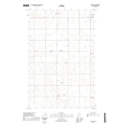
2020 Map of Chester NW
USGS Topo · Published 2020About this map
Adobe Ridge provides the central geographic backbone of this Liberty County landscape, where the high plains of northern Montana are deeply incised by a series of significant drainage features. These intermittent watercourses, including Phillipine Coulee and O'Brien Coulee, reveal the complex erosion patterns characteristic of this arid region. The map captures a strictly agricultural and pastoral infrastructure defined by a precise section-line road network, including Laird Rd and Horse Creek Rd, which provide access to the vast ranching tracts of the Hi-Line. This 2020 record documents the enduring Public Land Survey System boundaries across townships like T34N R6E and T35N R6E, showing how property and transit lines remain tied to the original homesteading grids in a place where geographical features like Fourmile Coulee still dictate the flow of movement.
Find a feature on this map
14 named features on this map. Tap any name to fly to it.
Don’t see what you’re looking for? This feature index may not catch every label — zoom into the map to look around manually.
Map Details
Editions of this 2020 Chester NW Map
This is the sole edition of this map. No revisions or reprints were ever made.
Other maps of this area

1919 · Alma
USGS Topo · 1:125,000

1954 · Shelby
USGS Topo · 1:250,000

1958 · Shelby
USGS Topo · 1:250,000

1962 · Tiber
USGS Topo · 1:24,000

1962 · Lakey Ranch
USGS Topo · 1:24,000

1962 · Mount Lebanon
USGS Topo · 1:24,000

1963 · Joplin
USGS Topo · 1:24,000

1963 · Bobcat Coulee SE
USGS Topo · 1:24,000

1963 · Vaver Reservoir
USGS Topo · 1:24,000

1963 · Chester NW
USGS Topo · 1:24,000