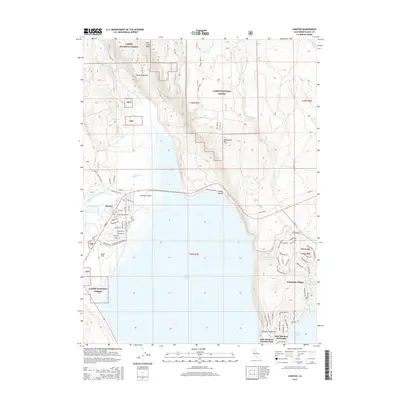
2015 Map of Chester
USGS Topo · Published 2015About this map
Lake Almanor dominates this 2015 survey, where the North Fork Feather River feeds into the reservoir near the town of Chester. The settlement of Chester shows a dense grid of residential streets like Main St and Cedar St, bounded by the aviation activity at Rogers Field. To the east and south, residential development clings to the shoreline, notably at Peninsula Village, Foxwood, and the Lake Almanor Country Club on the Almanor Peninsula. The surrounding terrain, managed by the Lassen National Forest, rises toward prominent peaks such as Manzanita Mtn and Mud Creek Butte. This era of the landscape is defined by the intersection of forest service lands and recreational waterfront growth, evidenced by public spaces like Catfish Beach and Johnson Fields alongside established forest spurs and county roads.
Find a feature on this map
80 named features on this map. Tap any name to fly to it.
Don’t see what you’re looking for? This feature index may not catch every label — zoom into the map to look around manually.
Map Details
Editions of this 2015 Chester Map
This is the sole edition of this map. No revisions or reprints were ever made.
Other maps of this area

1886 · Lassen Peak
USGS Topo · 1:250,000

1892 · Lassen Peak
USGS Topo · 1:250,000

1894 · Lassen Peak
USGS Topo · 1:250,000

1955 · Almanor
USGS Topo · 1:62,500

1955 · Westwood
USGS Topo · 1:250,000

1956 · Mt. Harkness
USGS Topo · 1:62,500

1956 · Chester
USGS Topo · 1:62,500

1958 · Westwood
USGS Topo · 1:250,000

1958 · Jonesville
USGS Topo · 1:62,500

1959 · Westwood
USGS Topo · 1:250,000