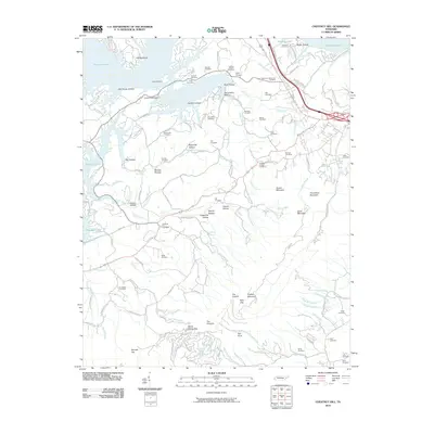
2010 Map of Chestnut Hill
USGS Topo · Published 2010About this map
Douglas Lake and its intricate northern shoreline dominate the upper reaches of this topographic landscape, where Indian Creek Dock serves as a point of access to the water. The map is exceptionally dense with family burial grounds and small churchyards, such as Antioch Cemetery, Lawson Chapel Cemetery, and Strange Cemetery, providing a detailed record for genealogical study. To the south, the terrain rises sharply toward English Mountain and the high point of The Pinnacle, separated by landmark passages like Split Gap and Yellow Spring Gap. Numerous creek systems, including Flat Creek and Ball Creek, drain the deep hollows such as Still House Hollow and Reynolds Hollow, illustrating the traditional Appalachian settlement patterns that follow these watercourses and ridgelines.
Find a feature on this map
130 named features on this map. Tap any name to fly to it.
Don’t see what you’re looking for? This feature index may not catch every label — zoom into the map to look around manually.
Map Details
Editions of this 2010 Chestnut Hill Map
This is the sole edition of this map. No revisions or reprints were ever made.
Other maps of this area

1883 · Morristown
USGS Topo · 1:125,000

1893 · Mt Guyot
USGS Topo · 1:125,000

1893 · Morristown
USGS Topo · 1:125,000

1895 · Morristown
USGS Topo · 1:125,000

1912 · Mt Guyot
USGS Topo · 1:125,000

1935 · Newport
USGS Topo · 1:48,000

1935 · White Pine
USGS Topo · 1:24,000

1935 · Hartford
USGS Topo · 1:24,000

1935 · English Mountain
USGS Topo · 1:48,000

1935 · Clevenger
USGS Topo · 1:24,000