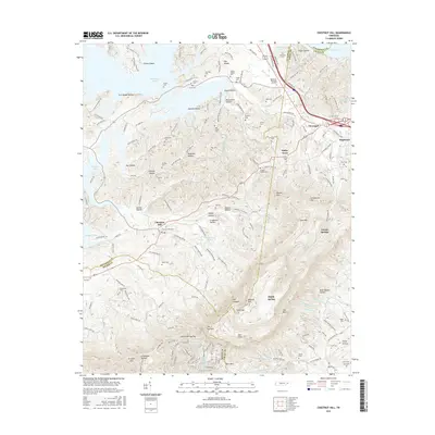
2016 Map of Chestnut Hill
USGS Topo · Published 2016About this map
Chestnut Hill serves as a central point in this part of East Tennessee, where the foothills of the Great Smoky Mountains meet the winding shores of the reservoir. The settlement pattern here is defined by small, historically agricultural communities like Bailey Town and Clevenger, which are linked by a network of rural roads that follow the ridges and valleys. To the east, the landscape rises toward Carson Springs, a community set against more prominent elevation, while the northern edge of the map is dominated by the expansive reaches of the lake. This 2016 data illustrates how modern infrastructure and secondary highways have integrated these long-standing rural pockets near Edgemont into the broader regional transit corridors while maintaining their distinct local identities.
Find a feature on this map
5 named features on this map. Tap any name to fly to it.
Don’t see what you’re looking for? This feature index may not catch every label — zoom into the map to look around manually.
Map Details
Editions of this 2016 Chestnut Hill Map
This is the sole edition of this map. No revisions or reprints were ever made.
Other maps of this area

1883 · Morristown
USGS Topo · 1:125,000

1893 · Mt Guyot
USGS Topo · 1:125,000

1893 · Morristown
USGS Topo · 1:125,000

1895 · Morristown
USGS Topo · 1:125,000

1912 · Mt Guyot
USGS Topo · 1:125,000

1935 · Newport
USGS Topo · 1:48,000

1935 · White Pine
USGS Topo · 1:24,000

1935 · Hartford
USGS Topo · 1:24,000

1935 · English Mountain
USGS Topo · 1:48,000

1935 · Clevenger
USGS Topo · 1:24,000