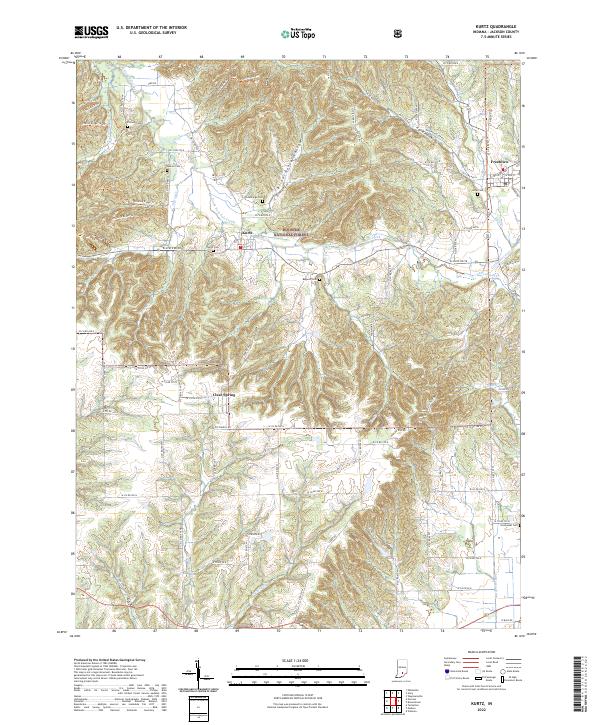
2022 Map of Chestnut Ridge
USGS Topo · Published 2022About this map
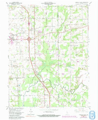
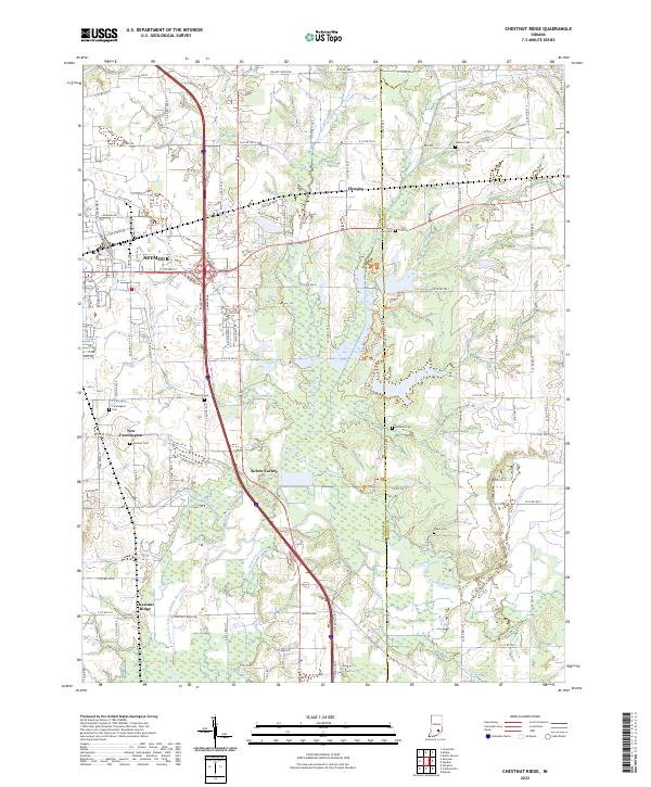
The Vernon Fork Muscatatuck River winds through the southern landscape of this Jackson County survey, defining a region where agricultural land meets expanding infrastructure. On the southeastern edge of Seymour, the map shows the transition from residential streets like Bateman Dr to more rural locales such as Fleming and Kriete Corner. These smaller settlements, along with New Farmington and the namesake Chestnut Ridge, are connected by an intricate network of county roads and drainage ditches designed to manage the low-lying river valley.
Find a feature on this map
104 named features on this map. Tap any name to fly to it.
Don’t see what you’re looking for? This feature index may not catch every label — zoom into the map to look around manually.
Map Details
Editions of this 2022 Chestnut Ridge Map
This is the sole edition of this map. No revisions or reprints were ever made.
Historical Maps of Kriete Corner Through Time
6 maps found