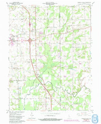
1959 Map of Chestnut Ridge
USGS Topo · Published 1991About this map
Muscatatuck National Wildlife Refuge dominates the landscape of southern Jackson County, preserving a complex of wetlands and lowlands where Mutton Creek and Storm Creek converge. This mid-century survey reveals a rural landscape defined by scattered family-named cemeteries and small community centers like Kriete Corner and New Farmington. The influence of transportation on regional development is clear, from the established routes of the Baltimore and Ohio and Conrail railroads to the modern infrastructure of a Rest Area and a Drive-in Theater near Seymour. Rural life is anchored by local landmarks such as Conologue Ch and New Hope Ch, while historical burial grounds including Barkman Cem and Staples Ford Cem offer a genealogical record of early settlers along the Muscatatuck River.
Find a feature on this map
45 named features on this map. Tap any name to fly to it.
Don’t see what you’re looking for? This feature index may not catch every label — zoom into the map to look around manually.
Map Details
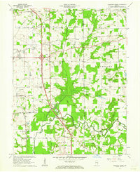
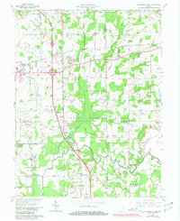
Editions of this 1959 Chestnut Ridge Map
Other maps of this area

1942 · Columbus
USGS Topo · 1:125,000

1953 · Cincinnati
USGS Topo · 1:250,000

1956 · Deputy
USGS Topo · 1:24,000

1956 · Louisville
USGS Topo · 1:250,000

1957 · Cincinnati
USGS Topo · 1:250,000

1957 · Jonesville
USGS Topo · 1:24,000

1957 · Azalia
USGS Topo · 1:24,000

1957 · North Vernon
USGS Topo · 1:24,000

1958 · Seymour
USGS Topo · 1:24,000

1959 · Tampico
USGS Topo · 1:24,000