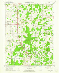
1959 Map of Chestnut Ridge
USGS Topo · Published 1962About this map
The Treaty Boundary cuts diagonally across this Jackson County landscape, marking a historical line of land division that still influenced local property and road alignments by the late 1950s. The area is defined by the winding course of the Muscatatuck River and its tributaries, including Mutton Creek and Sandy Branch. Two major rail lines, the Baltimore and Ohio RR and the Pennsylvania RR, intersect the terrain, supporting small settlements like Fleming and New Farmington.
Find a feature on this map
41 named features on this map. Tap any name to fly to it.
Don’t see what you’re looking for? This feature index may not catch every label — zoom into the map to look around manually.
Map Details
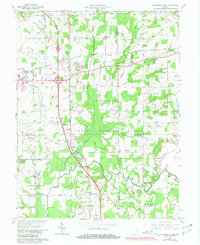
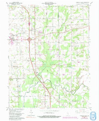
Editions of this 1959 Chestnut Ridge Map
Other maps of this area

1942 · Columbus
USGS Topo · 1:125,000

1953 · Cincinnati
USGS Topo · 1:250,000

1956 · Deputy
USGS Topo · 1:24,000

1956 · Louisville
USGS Topo · 1:250,000

1957 · Cincinnati
USGS Topo · 1:250,000

1957 · Jonesville
USGS Topo · 1:24,000

1957 · Azalia
USGS Topo · 1:24,000

1957 · North Vernon
USGS Topo · 1:24,000

1958 · Seymour
USGS Topo · 1:24,000

1959 · Tampico
USGS Topo · 1:24,000