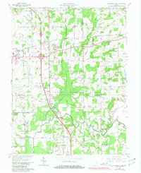
1959 Map of Chestnut Ridge
USGS Topo · Published 1981About this map
Muscatatuck National Wildlife Refuge dominates the central portion of this Jackson County landscape, preserving a vast network of wetlands and wooded bottoms along the Fork Muscatatuck River. The map documents a period of significant transportation infrastructure, showing the intersection of major routes near Seymour alongside the historic Old Railroad Grade and active lines of the Baltimore and Ohio and Conrail. Local history is deeply etched into the rural corners, from the small community at New Farmington to the riverside crossing at Staples Ford. Genealogists will find a high density of family-named burial grounds, including the Hunt, Barkman, and Gardner cemeteries, which are scattered throughout the agricultural tracts and timbered hills. Cultural landmarks like the Drive-in Theater and the Conologue Ch further illustrate the mid-century social fabric of this Indiana river valley.
Find a feature on this map
45 named features on this map. Tap any name to fly to it.
Don’t see what you’re looking for? This feature index may not catch every label — zoom into the map to look around manually.
Map Details
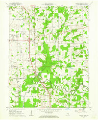
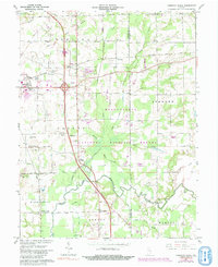
Editions of this 1959 Chestnut Ridge Map
Other maps of this area

1942 · Columbus
USGS Topo · 1:125,000

1953 · Cincinnati
USGS Topo · 1:250,000

1956 · Deputy
USGS Topo · 1:24,000

1956 · Louisville
USGS Topo · 1:250,000

1957 · Cincinnati
USGS Topo · 1:250,000

1957 · Jonesville
USGS Topo · 1:24,000

1957 · Azalia
USGS Topo · 1:24,000

1957 · North Vernon
USGS Topo · 1:24,000

1958 · Seymour
USGS Topo · 1:24,000

1959 · Tampico
USGS Topo · 1:24,000