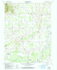
1959 Map of Tampico
USGS Topo · Published 1994About this map
Tampico serves as a primary rural hub in this southern Indiana landscape, which was meticulously surveyed in the late 1950s. The terrain is defined by a dense network of drainage systems, including the meandering Muscatatuck River and its various tributaries like Grassy Fork and Horse Lick. These waterways dictated the placement of early settlements and agricultural boundaries throughout Brownstown and Grassy Fork townships.
Find a feature on this map
30 named features on this map. Tap any name to fly to it.
Don’t see what you’re looking for? This feature index may not catch every label — zoom into the map to look around manually.
Map Details
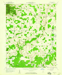
Editions of this 1959 Tampico Map
3 editions found

Other maps of this area

1947 · Scottsburg
USGS Topo · 1:24,000

1953 · Kossuth
USGS Topo · 1:24,000

1956 · Vincennes
USGS Topo · 1:250,000

1956 · Louisville
USGS Topo · 1:250,000

1957 · Vincennes
USGS Topo · 1:250,000

1958 · Vincennes
USGS Topo · 1:250,000

1958 · Little York
USGS Topo · 1:24,000

1958 · Brownstown
USGS Topo · 1:24,000

1958 · Seymour
USGS Topo · 1:24,000
1959 · Vallonia
USGS Topo · 1:24,000