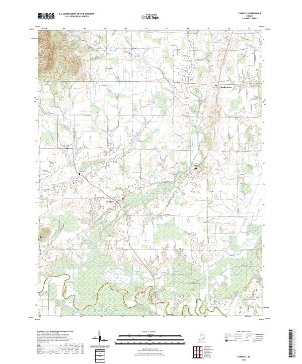
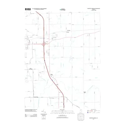
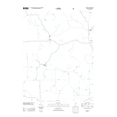
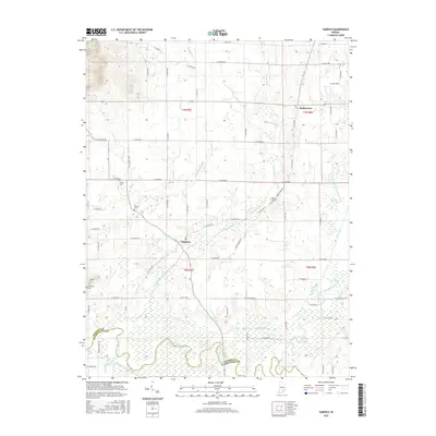
2022 Map of Tampico
USGS Topo · Published 2022About this map
Tampico and Dudleytown serve as the primary hubs in this section of Jackson County, where the landscape is defined by an extensive network of managed waterways. Systems like Smart Ditch, Bretfield Ditch, and Rider Ditch demonstrate a long history of engineering the land for agricultural productivity, channeling water toward the Vernon Fork Muscatatuck River.
Find a feature on this map
68 named features on this map. Tap any name to fly to it.
Don’t see what you’re looking for? This feature index may not catch every label — zoom into the map to look around manually.
Map Details
Editions of this 2022 Tampico Map
This is the sole edition of this map. No revisions or reprints were ever made.
Historical Maps of Dudleytown Through Time
18 maps found
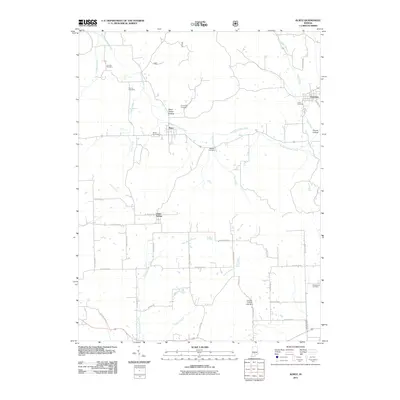
1959 Chestnut Ridge
Jackson County, IN
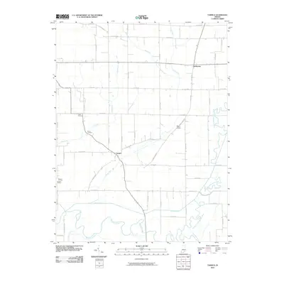
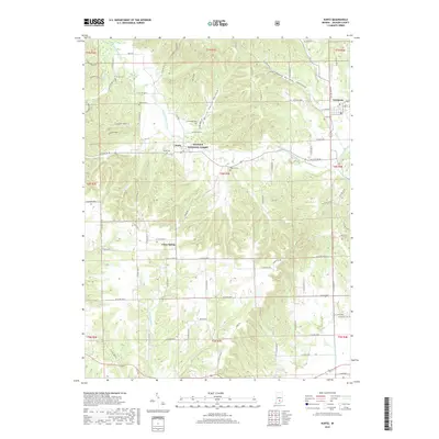
1959 Kurtz
Jackson County, IN
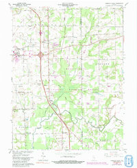
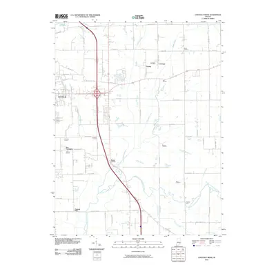
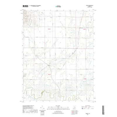
1959 Tampico
Jackson County, IN
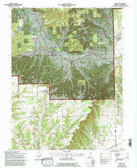
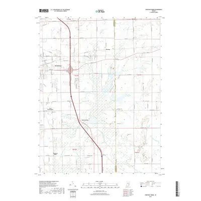
2010 Chestnut Ridge
Jackson County, IN
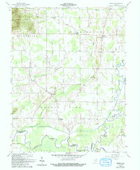
2010 Tampico
Jackson County, IN
2011 Kurtz
Jackson County, IN
2013 Chestnut Ridge
Jackson County, IN
2013 Kurtz
Jackson County, IN
2013 Tampico
Jackson County, IN
2016 Chestnut Ridge
Jackson County, IN
2016 Kurtz
Jackson County, IN
2016 Tampico
Jackson County, IN
2019 Chestnut Ridge
Jackson County, IN
2019 Kurtz
Jackson County, IN
2019 Tampico
Jackson County, IN
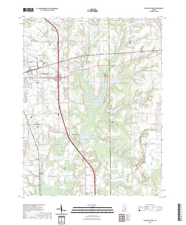
2022 Chestnut Ridge
Jackson County, IN
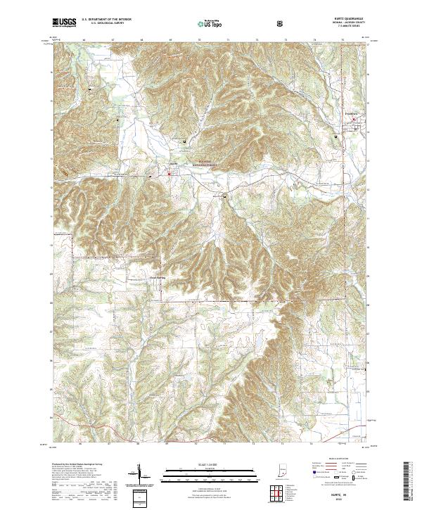
2022 Kurtz
Jackson County, IN
2022 Tampico
Jackson County, IN