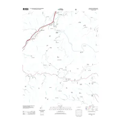
2013 Map of Chestoa
USGS Topo · Published 2013About this map
The Nolichucky River carves a deep path through this section of Unicoi County, serving as the primary corridor for settlements like Chestoa, Riverview, and Shallowford. The map documents a landscape defined by sharp elevation changes, where named ridges such as No Business Ridge and Cliff Ridge overlook narrow coves and hollows. Local recreation and utility are evident at Unaka Springs and the Mine Flats Shooting Range, while the higher peaks are marked by gaps and overlooks like Hollybush Gap and Spivey Gap.
Find a feature on this map
109 named features on this map. Tap any name to fly to it.
Don’t see what you’re looking for? This feature index may not catch every label — zoom into the map to look around manually.
Map Details
Editions of this 2013 Chestoa Map
This is the sole edition of this map. No revisions or reprints were ever made.
Other maps of this area

1891 · Roan Mountain
USGS Topo · 1:125,000

1892 · Greeneville
USGS Topo · 1:125,000

1894 · Asheville
USGS Topo · 1:125,000

1894 · Roan Mountain
USGS Topo · 1:125,000

1896 · Greeneville
USGS Topo · 1:125,000

1900 · Mount Mitchell
USGS Topo · 1:125,000

1901 · Asheville
USGS Topo · 1:125,000

1902 · Mount Mitchell
USGS Topo · 1:125,000

1904 · Roan Mountain
USGS Topo · 1:125,000

1904 · Greeneville
USGS Topo · 1:125,000