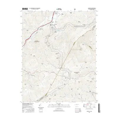
2016 Map of Chestoa
USGS Topo · Published 2016About this map
The Nolichucky River carves a deep path through the Unaka Mountains in this survey of the borderlands between Tennessee and North Carolina. This corridor is defined by its dramatic elevation changes, from the river valley at Chestoa to the high peaks of Flattop Mountain and the Unaka Mountains. The Appalachian National Scenic Trail winds extensively across the eastern half of the map, crossing from the Cherokee National Forest into the Pisgah National Forest.
Find a feature on this map
122 named features on this map. Tap any name to fly to it.
Don’t see what you’re looking for? This feature index may not catch every label — zoom into the map to look around manually.
Map Details
Editions of this 2016 Chestoa Map
This is the sole edition of this map. No revisions or reprints were ever made.
Other maps of this area

1891 · Roan Mountain
USGS Topo · 1:125,000

1892 · Greeneville
USGS Topo · 1:125,000

1894 · Asheville
USGS Topo · 1:125,000

1894 · Roan Mountain
USGS Topo · 1:125,000

1896 · Greeneville
USGS Topo · 1:125,000

1900 · Mount Mitchell
USGS Topo · 1:125,000

1901 · Asheville
USGS Topo · 1:125,000

1902 · Mount Mitchell
USGS Topo · 1:125,000

1904 · Roan Mountain
USGS Topo · 1:125,000

1904 · Greeneville
USGS Topo · 1:125,000