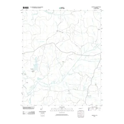
2010 Map of Chewalla
USGS Topo · Published 2010About this map
Cypress Creek and the Tuscumbia River define the low-lying drainage patterns of this Tennessee landscape. The area is characterized by a high concentration of small family and community burial grounds, including Friendship Cemetery, Neatherly Cemetery, and Carr Cemetery, which serve as vital landmarks for genealogical research in McNairy County. In the western portion of the quadrangle, Big Hill Pond State Park surrounds the waters of Big Hill Pond Lake, anchored by the Big Hill Pond Lake Dam.
Find a feature on this map
61 named features on this map. Tap any name to fly to it.
Don’t see what you’re looking for? This feature index may not catch every label — zoom into the map to look around manually.
Map Details
Editions of this 2010 Chewalla Map
This is the sole edition of this map. No revisions or reprints were ever made.
Other maps of this area

1936 · Purdy
USGS Topo · 1:24,000

1949 · Purdy
USGS Topo · 1:24,000

1950 · Corinth
USGS Topo · 1:62,500

1950 · Pocahontas
USGS Topo · 1:24,000

1950 · Hornsby
USGS Topo · 1:24,000

1951 · Hornsby
USGS Topo · 1:24,000

1951 · Chewalla
USGS Topo · 1:24,000

1951 · Guys
USGS Topo · 1:24,000

1951 · Rose Creek
USGS Topo · 1:24,000

1951 · Walnut
USGS Topo · 1:62,500