
1951 Map of Guys
USGS Topo · Published 1952About this map
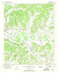
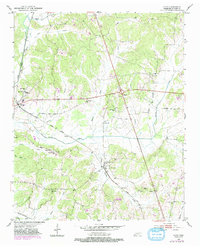
Guys and Ramer anchor this 1951 McNairy County landscape, where the Gulf Mobile and Ohio and Southern railroads intersect amidst a network of creek bottoms and ridges. The map reveals a post-war rural infrastructure defined by small communities and their social centers, including Rosenwald Sch and the Adams Chapel Sch. The terrain is deeply carved by watercourses like Muddy Creek and Cypress Creek, which influenced the placement of early settlements and transportation routes. Genealogists will find significant value in the numerous family-named landmarks and local burial grounds, such as Damron Cem and Houston Cem. The concentration of small country churches, including Wades Chapel, Mt Vernon Ch, and Lorraine Ch, reflects the distributed nature of this Tennessee community before major highway development altered the traditional settlement patterns of the region.
Find a feature on this map
39 named features on this map. Tap any name to fly to it.
Don’t see what you’re looking for? This feature index may not catch every label — zoom into the map to look around manually.
Map Details
Editions of this 1951 Guys Map
3 editions found
Other maps of this area

1936 · Kendrick
USGS Topo · 1:24,000

1936 · Purdy
USGS Topo · 1:24,000

1936 · Stantonville
USGS Topo · 1:24,000

1936 · Michie
USGS Topo · 1:24,000

1949 · Purdy
USGS Topo · 1:24,000

1949 · Stantonville
USGS Topo · 1:24,000

1949 · Michie
USGS Topo · 1:24,000

1950 · Corinth
USGS Topo · 1:62,500

1950 · Kendrick
USGS Topo · 1:24,000

1951 · Chewalla
USGS Topo · 1:24,000