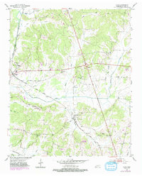
1951 Map of Guys
USGS Topo · Published 1983About this map
The railroad corridors of McNairy County define the landscape of the mid-20th century, with the Gulf Mobile and Ohio and Illinois Central Gulf lines intersecting at Guys. This junction, along with the nearby town of Ramer, serves as a primary hub for a network of rural schools and churches including the Rosenwald Sch and Wades Chapel. The terrain is deeply etched by the drainage of Muddy Creek and Roland Creek, which create a series of low-lying bottoms between the settlements of Gravel Hill and Eastview. For family historians, the map provides precise locations for scattered landmarks such as Adams Chapel Sch and the Houston Cem, reflecting the small-community infrastructure of the post-war South before later consolidation changed the rural character of the region.
Find a feature on this map
35 named features on this map. Tap any name to fly to it.
Don’t see what you’re looking for? This feature index may not catch every label — zoom into the map to look around manually.
Map Details
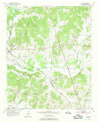
Editions of this 1951 Guys Map
3 editions found

Other maps of this area

1936 · Kendrick
USGS Topo · 1:24,000

1936 · Purdy
USGS Topo · 1:24,000

1936 · Stantonville
USGS Topo · 1:24,000

1936 · Michie
USGS Topo · 1:24,000

1949 · Purdy
USGS Topo · 1:24,000

1949 · Stantonville
USGS Topo · 1:24,000

1949 · Michie
USGS Topo · 1:24,000

1950 · Corinth
USGS Topo · 1:62,500

1950 · Kendrick
USGS Topo · 1:24,000

1951 · Chewalla
USGS Topo · 1:24,000