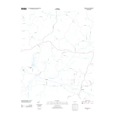
2013 Map of Chewalla
USGS Topo · Published 2013About this map
Chewalla and Cypress anchor this Tennessee landscape, where the headwaters of the Tuscumbia River meet a complex network of creeks and drainage ditches. The area is defined by the extensive terrain of Big Hill Pond State Park, which includes Big Hill Pond Lake and the nearby Big Hill Pond. The map reveals a rural structure shaped by family names and community landmarks, evidenced by routes like White Oak Cemetery Rd and Hurley School House Rd.
Find a feature on this map
65 named features on this map. Tap any name to fly to it.
Don’t see what you’re looking for? This feature index may not catch every label — zoom into the map to look around manually.
Map Details
Editions of this 2013 Chewalla Map
This is the sole edition of this map. No revisions or reprints were ever made.
Other maps of this area

1936 · Purdy
USGS Topo · 1:24,000

1949 · Purdy
USGS Topo · 1:24,000

1950 · Corinth
USGS Topo · 1:62,500

1950 · Pocahontas
USGS Topo · 1:24,000

1950 · Hornsby
USGS Topo · 1:24,000

1951 · Hornsby
USGS Topo · 1:24,000

1951 · Chewalla
USGS Topo · 1:24,000

1951 · Guys
USGS Topo · 1:24,000

1951 · Rose Creek
USGS Topo · 1:24,000

1951 · Walnut
USGS Topo · 1:62,500