
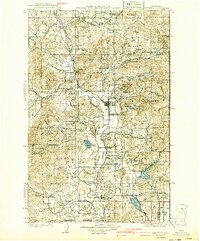
1930 Map of Chewelah
USGS Topo · Published 1930About this map
The Colville River corridor serves as the industrial and agricultural spine of this 1930s study, where the Northern railroad line connects a string of mining and timber towns. The local economy is defined by heavy extraction, notably at the Northwestern Magnesite Plant and several major sites like the Finch Magnesite Quarry and United Copper Mine. These industrial nodes are surrounded by a dense network of early rural education, with numerous district schools such as Cozy Nook Sch and Everglade Sch serving families in the narrow valleys.
Find a feature on this map
117 named features on this map. Tap any name to fly to it.
Don’t see what you’re looking for? This feature index may not catch every label — zoom into the map to look around manually.
Map Details
Editions of this 1930 Chewelah Map
2 editions found
Other maps of this area

1901 · Spokane
USGS Topo · 1:125,000

1927 · Chewelah
USGS Topo · 1:125,000

1929 · Colville
USGS Topo · 1:125,000

1933 · Colville
USGS Topo · 1:125,000

1934 · Metaline
USGS Topo · 1:125,000

1936 · Marcus
USGS Topo · 1:96,000

1936 · Newport
USGS Topo · 1:96,000

1942 · Marcus
USGS Topo · 1:125,000

1942 · Metaline
USGS Topo · 1:125,000

1942 · Newport
USGS Topo · 1:125,000