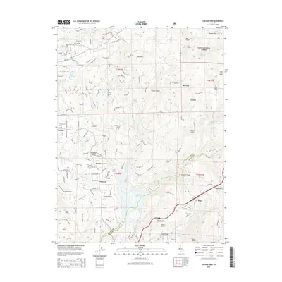
2015 Map of Chicago Park
USGS Topo · Published 2015About this map
Banner Mtn stands as a prominent landmark in the northwest corner of this Nevada County landscape, overlooking a complex network of water management features including the Cascade Canal, Loma Rica Canal, and Chicago Park Ditch. This 2015 record illustrates the ongoing importance of water infrastructure to the region, centered around the significant expanse of Rollins Reservoir on the Bear River.
Find a feature on this map
151 named features on this map. Tap any name to fly to it.
Don’t see what you’re looking for? This feature index may not catch every label — zoom into the map to look around manually.
Map Details
Editions of this 2015 Chicago Park Map
This is the sole edition of this map. No revisions or reprints were ever made.
Other maps of this area

1888 · Smartsville
USGS Topo · 1:125,000

1891 · Colfax
USGS Topo · 1:125,000

1891 · Smartsville
USGS Topo · 1:125,000

1892 · Smartsville
USGS Topo · 1:125,000

1892 · Colfax
USGS Topo · 1:125,000

1894 · Colfax
USGS Topo · 1:125,000

1894 · Smartsville
USGS Topo · 1:125,000

1895 · Smartsville
USGS Topo · 1:125,000

1898 · Colfax
USGS Topo · 1:125,000

1900 · Colfax
USGS Topo · 1:125,000