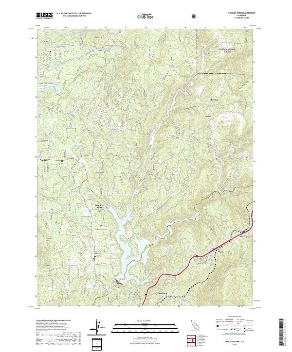
2022 Map of Chicago Park
USGS Topo · Published 2022About this map
Banner Mtn and the western reaches of the Tahoe National Forest dominate this Sierra Nevada foothills landscape, where water management infrastructure supports the region's historic mining and agriculture. Traces of the area's extraction history are evident along Lava Cap Mine Rd and the complex network of water transport including the Cascade Canal, Chicago Park Ditch, and Bear River Canal. These waterways underscore the 150-year effort to divert Sierra snowmelt for hydraulic mining and irrigation.
Find a feature on this map
224 named features on this map. Tap any name to fly to it.
Don’t see what you’re looking for? This feature index may not catch every label — zoom into the map to look around manually.
Map Details
Editions of this 2022 Chicago Park Map
This is the sole edition of this map. No revisions or reprints were ever made.
Other maps of this area

1888 · Smartsville
USGS Topo · 1:125,000

1891 · Colfax
USGS Topo · 1:125,000

1891 · Smartsville
USGS Topo · 1:125,000

1892 · Smartsville
USGS Topo · 1:125,000

1892 · Colfax
USGS Topo · 1:125,000

1894 · Colfax
USGS Topo · 1:125,000

1894 · Smartsville
USGS Topo · 1:125,000

1895 · Smartsville
USGS Topo · 1:125,000

1898 · Colfax
USGS Topo · 1:125,000

1900 · Colfax
USGS Topo · 1:125,000